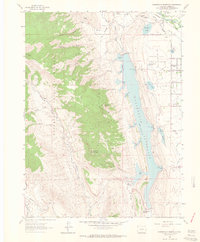
1962 Map of Horsetooth Reservoir
USGS Topo · Published 1964About this map
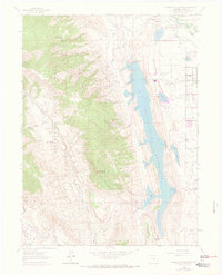
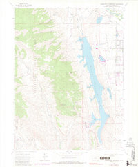
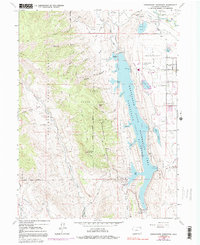
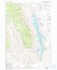
Horsetooth Reservoir dominates the eastern foothills of the Roosevelt National Forest, serving as a massive water catchment for the Front Range. Along the northern edge, the Cache La Poudre River flows past the settlement of Laporte, a community marked by its proximity to the Colorado and Southern railroad and the Overland Stage Station. The map illustrates a landscape of transition where the industrial presence of a Quarry and a Gravel Pit meets recreational and residential development near Inlet Bay and Horsetooth Heights. The western terrain is defined by dramatic geology, rising from Redstone Creek to notable peaks like Arthurs Rock and Horsetooth Mountain. This 1960s survey captures the early expansion of aviation at the Municipal Airport and the complex system of canals and smaller reservoirs, such as College Lake and Soldier Canyon Reservoir, that support the region's agricultural and municipal growth.
Find a feature on this map
54 named features on this map. Tap any name to fly to it.
Don’t see what you’re looking for? This feature index may not catch every label — zoom into the map to look around manually.
Map Details
Editions of this 1962 Horsetooth Reservoir Map
8 editions found
Other maps of this area

1905 · Mount Olympus
USGS Topo · 1:62,500

1906 · Loveland
USGS Topo · 1:62,500

1906 · Fort Collins
USGS Topo · 1:62,500

1907 · Mount Olympus
USGS Topo · 1:62,500

1907 · Livermore
USGS Topo · 1:125,000

1908 · Loveland
USGS Topo · 1:62,500

1908 · Fort Collins
USGS Topo · 1:62,500

1909 · Livermore
USGS Topo · 1:125,000

1954 · Greeley
USGS Topo · 1:250,000

1957 · Greeley
USGS Topo · 1:250,000