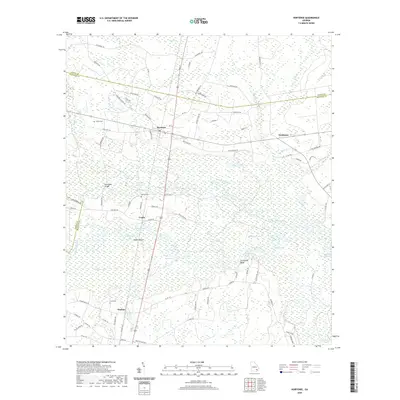
2020 Map of Hortense
USGS Topo · Published 2020About this map
The Satilla River and its intricate network of reaches and oxbows dominate this portion of Brantley County, Georgia. The landscape is defined by the winding paths of the river and the Little Satilla River, creating a complex wetland environment that includes Indian Swamp and numerous named water bodies like Pollys Lake and Dreading Lake. These waterways have historically shaped the settlement patterns of the region, as seen in the small communities of Hortense, Trudie, and Raybon that are scattered along the higher ground and major road corridors.
Find a feature on this map
88 named features on this map. Tap any name to fly to it.
Don’t see what you’re looking for? This feature index may not catch every label — zoom into the map to look around manually.
Map Details
Editions of this 2020 Hortense Map
This is the sole edition of this map. No revisions or reprints were ever made.
Other maps of this area

1917 · Nahunta
USGS Topo · 1:62,500

1918 · Hortense
USGS Topo · 1:62,500

1918 · Nahunta
USGS Topo · 1:62,500

1944 · Hortense
USGS Topo · 1:62,500

1946 · Brunswick
USGS Topo · 1:250,000

1948 · Brunswick
USGS Topo · 1:250,000

1953 · Waycross
USGS Topo · 1:250,000

1956 · Brunswick
USGS Topo · 1:250,000

1958 · Waycross
USGS Topo · 1:250,000

1961 · Brunswick
USGS Topo · 1:250,000