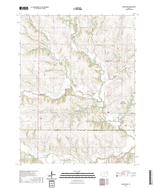
2023 Map of Horton NW
USGS Topo · Published 2023About this map
The Kickapoo Tribal Center and several numbered Kickapoo sites anchor this portion of the reservation landscape along the border of Brown and Jackson Counties. The terrain is defined by the winding course of the Delaware River, which is fed by tributaries including Oaks Creek and Craig Creek. This modern survey illustrates the organized section-line road network that overlays the rolling river valley, with named routes like Foxtail Rd and Goldfinch Rd providing access to the various tribal locations.
Find a feature on this map
43 named features on this map. Tap any name to fly to it.
Don’t see what you’re looking for? This feature index may not catch every label — zoom into the map to look around manually.
Map Details
Editions of this 2023 Horton NW Map
This is the sole edition of this map. No revisions or reprints were ever made.
Other maps of this area

1888 · Hiawatha
USGS Topo · 1:125,000

1894 · Hiawatha
USGS Topo · 1:125,000

1950 · Kansas City
USGS Topo · 1:250,000

1954 · Kansas City
USGS Topo · 1:250,000

1956 · Kansas City
USGS Topo · 1:250,000

1960 · Kansas City
USGS Topo · 1:250,000

1960 · Fairview
USGS Topo · 1:24,000
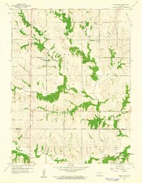
1960 · Horton NW
USGS Topo · 1:24,000
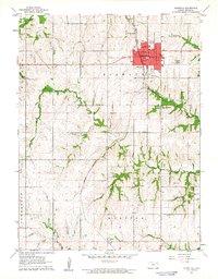
1961 · Hiawatha
USGS Topo · 1:24,000
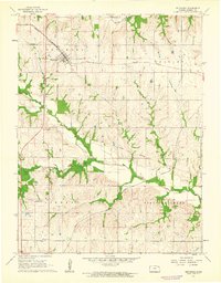
1961 · Netawaka
USGS Topo · 1:24,000