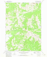
1970 Map of Horton Peak
USGS Topo · Published 1983About this map
Sawtooth National Forest and the Sawtooth National Recreation Area dominate this high-elevation terrain where the Boulder Mountains meet the Salmon River drainage. The 1970 landscape reveals a history of resource extraction and fire management, centered on high-altitude landmarks like the Horton Peak Lookout and Pole Creek Guard Station. Mining activity is recorded in the northern reaches, particularly at Bible Back Mtn and a Prospect near Grand Prize Gulch. The map illustrates a complex network of Jeep Trails and Pack Trails used to navigate the basins and canyons. Water sources are abundant, from the headwaters of the Big Wood River to the Governors Punchbowl and the alpine Deer Lakes, reflecting the critical role of these highlands in the regional watershed before late-century development reached the valley floors.
Find a feature on this map
38 named features on this map. Tap any name to fly to it.
Don’t see what you’re looking for? This feature index may not catch every label — zoom into the map to look around manually.
Map Details
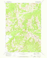
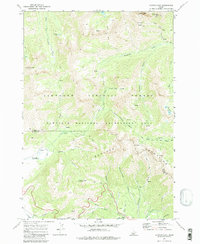
Editions of this 1970 Horton Peak Map
3 editions found
Other maps of this area

1900 · Sawtooth
USGS Topo · 1:125,000

1919 · Custer
USGS Topo · 1:125,000

1922 · Custer
USGS Topo · 1:125,000

1955 · Hailey
USGS Topo · 1:250,000

1957 · Challis
USGS Topo · 1:250,000

1959 · Hailey
USGS Topo · 1:250,000

1960 · Challis
USGS Topo · 1:250,000

1962 · Hailey
USGS Topo · 1:250,000

1963 · Challis
USGS Topo · 1:250,000

1963 · Alturas Lake
USGS Topo · 1:24,000