Loading...
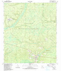
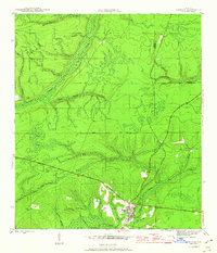
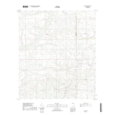
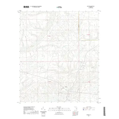
Loading map...1990 Map of Hosford
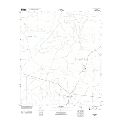
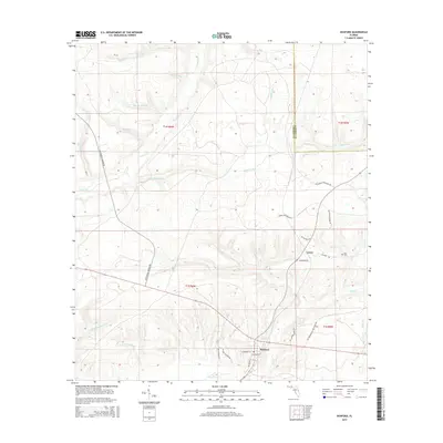
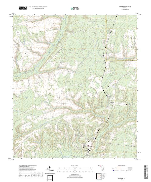
USGS Topo · Published 1990About this map
Telogia Creek and its complex network of tributaries, such as Ocklawaha Creek, define the landscape of northern Liberty County in this 1990 update. The settlement of Hosford serves as a primary hub in the south, while the small community of Lowry is situated further north. The map documents a territory dominated by the Robert Brent State Wildlife Management Area, showing the intricate web of forest roads and branches that crisscross the wetlands and pine flatwoods.
Find a feature on this map
25 named features on this map. Tap any name to fly to it.
Don’t see what you’re looking for? This feature index may not catch every label — zoom into the map to look around manually.
Map Details
Date Portrayed1990
Date Published1990
PublisherU.S. Geological Survey
Map TypeTopographic
Scale1:24,000
Physical Dimensions22.9 x 26.8 inches
Editions of this 1990 Hosford Map
This is the sole edition of this map. No revisions or reprints were ever made.
Historical Maps of Lowry Through Time
7 maps found
Featured Locations
Source Details
SourceU.S. Geological Survey
CopyrightPublic Domain