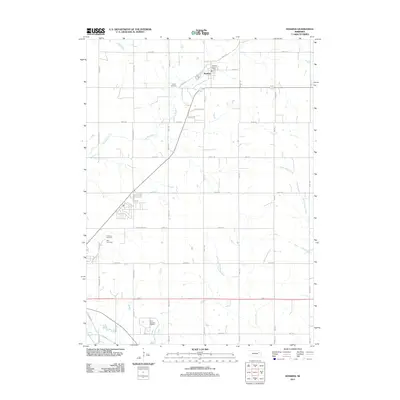
2011 Map of Hoskins
USGS Topo · Published 2011About this map
Hoskins serves as the primary hub in this corner of Northeast Nebraska, situated where several local roads converge near the Hoskins Post Office. The surrounding landscape is defined by the organized grid of agricultural section lines and the meandering paths of Spring Branch and Maskenthine Creek. For those researching family history or the local community, the map identifies three distinct burial grounds: Trinity Cemetery, Lutheran Cemetery, and Zion Cemetery, reflecting the area's rural heritage and settlement patterns. The presence of the Fore-Quarters Feedlot and a network of arterial roads like 848th Rd and 561st Ave illustrate the importance of the livestock and farming economy to the region. The map captures a transition between the concentrated village center and the expansive drainage basins of Pleasant Run, providing a clear view of the area's modern land use and historical landmarks.
Find a feature on this map
43 named features on this map. Tap any name to fly to it.
Don’t see what you’re looking for? This feature index may not catch every label — zoom into the map to look around manually.
Map Details
Editions of this 2011 Hoskins Map
This is the sole edition of this map. No revisions or reprints were ever made.
Other maps of this area

1955 · Sioux City
USGS Topo · 1:250,000

1955 · Fremont
USGS Topo · 1:250,000

1957 · Fremont
USGS Topo · 1:250,000

1958 · Sioux City
USGS Topo · 1:250,000

1958 · Fremont
USGS Topo · 1:250,000

1959 · Sioux City
USGS Topo · 1:250,000

1963 · Hoskins
USGS Topo · 1:24,000

1963 · Wayne SW
USGS Topo · 1:24,000

1963 · Norfolk
USGS Topo · 1:24,000

1963 · Winside
USGS Topo · 1:24,000