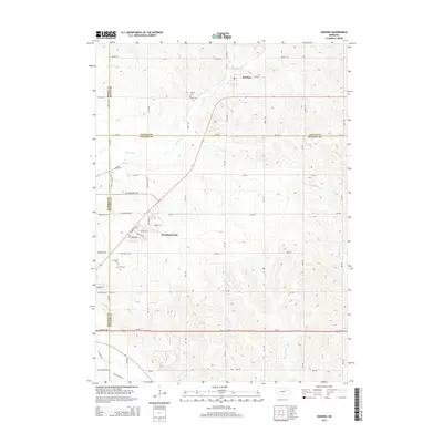
2014 Map of Hoskins
USGS Topo · Published 2014About this map
Hoskins and the developing residential area of Woodland Park anchor this Northeast Nebraska landscape at the intersection of Stanton, Wayne, Pierce, and Madison counties. The map captures a transition between the established village of Hoskins to the north and the expanding suburban patterns of Woodland Park further south. Genealogists will find three distinct burial grounds—Trinity Cem, Lutheran Cem, and Zion Cem—marking the heritage of early settlers in this agricultural region. The terrain is defined by the drainage systems of Spring Br, Pleasant Run, and Maskenthine Cr, which carve through the grid of country roads. Local infrastructure is prominently detailed, including the NE Industrial Hwy and traces of Old Highway 8, illustrating how modern transportation corridors have evolved alongside traditional section lines.
Find a feature on this map
57 named features on this map. Tap any name to fly to it.
Don’t see what you’re looking for? This feature index may not catch every label — zoom into the map to look around manually.
Map Details
Editions of this 2014 Hoskins Map
This is the sole edition of this map. No revisions or reprints were ever made.
Other maps of this area

1955 · Sioux City
USGS Topo · 1:250,000

1955 · Fremont
USGS Topo · 1:250,000

1957 · Fremont
USGS Topo · 1:250,000

1958 · Sioux City
USGS Topo · 1:250,000

1958 · Fremont
USGS Topo · 1:250,000

1959 · Sioux City
USGS Topo · 1:250,000

1963 · Hoskins
USGS Topo · 1:24,000

1963 · Wayne SW
USGS Topo · 1:24,000

1963 · Norfolk
USGS Topo · 1:24,000

1963 · Winside
USGS Topo · 1:24,000