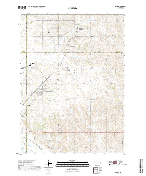
2021 Map of Hoskins
USGS Topo · Published 2021About this map
The village of Hoskins serves as a focal point in this portion of Northeast Nebraska, situated near the intersection of S Main St and 847th Rd. The landscape reflects a mix of small-town settlement and aviation activity, with both Falk Air Field and Kohles Airport established within a few miles of one another. Waterways like Spring Br and Pleasant Run carve through the agricultural sections, delineating the boundaries where Wayne, Stanton, Pierce, and Madison counties meet.
Find a feature on this map
47 named features on this map. Tap any name to fly to it.
Don’t see what you’re looking for? This feature index may not catch every label — zoom into the map to look around manually.
Map Details
Editions of this 2021 Hoskins Map
This is the sole edition of this map. No revisions or reprints were ever made.
Other maps of this area

1955 · Sioux City
USGS Topo · 1:250,000

1955 · Fremont
USGS Topo · 1:250,000

1957 · Fremont
USGS Topo · 1:250,000

1958 · Sioux City
USGS Topo · 1:250,000

1958 · Fremont
USGS Topo · 1:250,000

1959 · Sioux City
USGS Topo · 1:250,000

1963 · Hoskins
USGS Topo · 1:24,000

1963 · Wayne SW
USGS Topo · 1:24,000

1963 · Norfolk
USGS Topo · 1:24,000

1963 · Winside
USGS Topo · 1:24,000