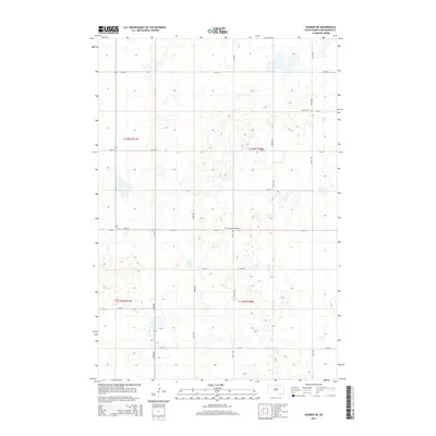
2015 Map of Hosmer NE
USGS Topo · Published 2015About this map
Glacial depressions and prairie potholes dominate this McPherson County landscape, which is organized by a strict grid of section lines and gravel roads. Settlement patterns in this portion of South Dakota reflect the importance of local community congregations, evidenced by the presence of the Lutheran Cem in the northeast and the Congregational Cem near the center of the sheet. The terrain is marked by hundreds of small, unnamed wetlands and water bodies that sit between the intersecting paths of 114th St and 347th Ave. Major local thoroughfares such as Cr-12 and 118th St provide the primary east-west transit through this rural agricultural region, while north-south corridors like 342nd Ave connect the scattered farmsteads.
Find a feature on this map
20 named features on this map. Tap any name to fly to it.
Don’t see what you’re looking for? This feature index may not catch every label — zoom into the map to look around manually.
Map Details
Editions of this 2015 Hosmer NE Map
This is the sole edition of this map. No revisions or reprints were ever made.
Other maps of this area

1954 · Aberdeen
USGS Topo · 1:250,000

1956 · Aberdeen
USGS Topo · 1:250,000

1968 · Long Lake
USGS Topo · 1:24,000

1978 · Hosmer NW
USGS Topo · 1:24,000

1978 · Hosmer NE
USGS Topo · 1:24,000

1978 · Hosmer SE
USGS Topo · 1:24,000

1978 · Hosmer
USGS Topo · 1:24,000

1978 · Schumacher Lake
USGS Topo · 1:24,000

1978 · Schumacher Lake SW
USGS Topo · 1:24,000

1978 · Plainview Colony NW
USGS Topo · 1:24,000