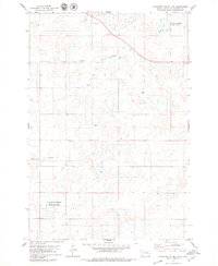
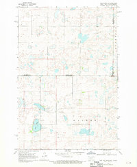
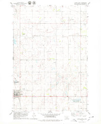
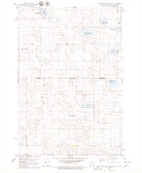
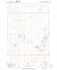
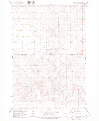
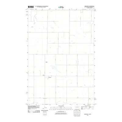
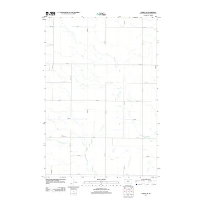
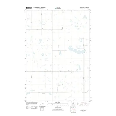
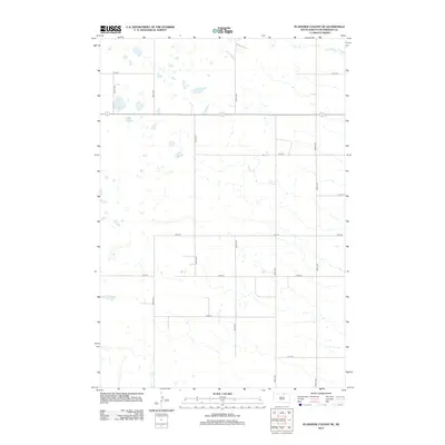
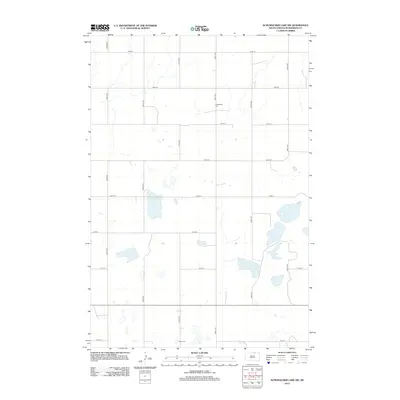
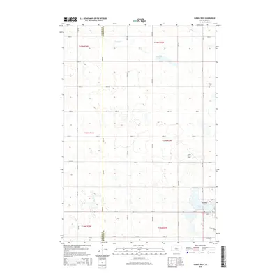
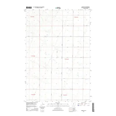
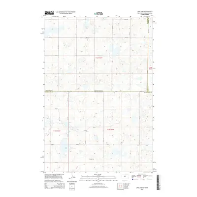
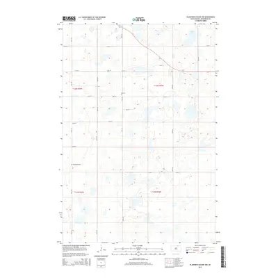
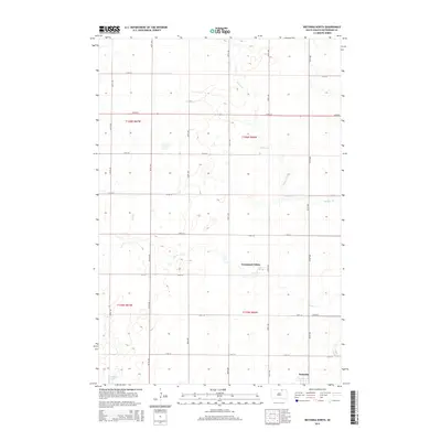
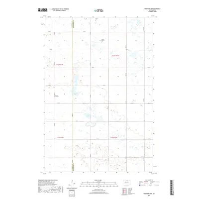
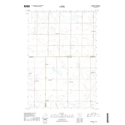
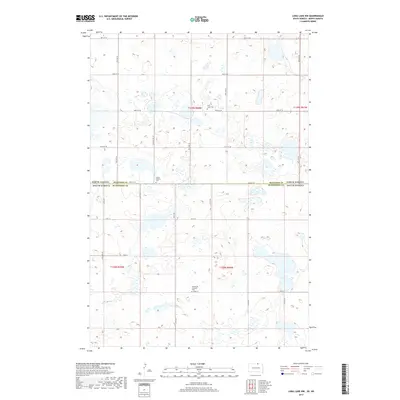
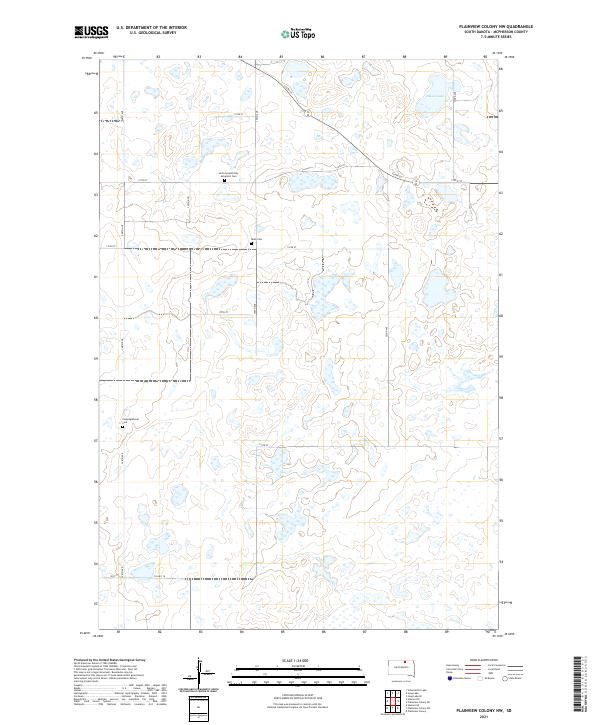
1978 Map of Plainview Colony NW
USGS Topo · Published 1979About this map
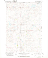
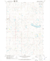
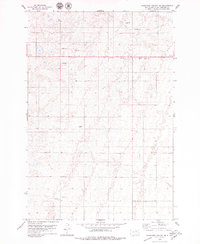
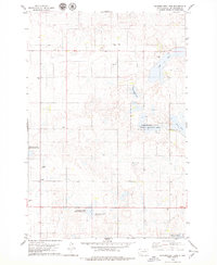
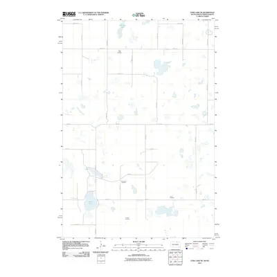
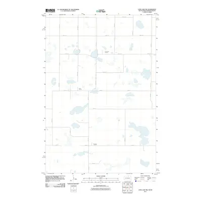
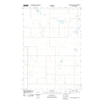
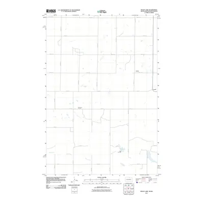
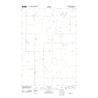
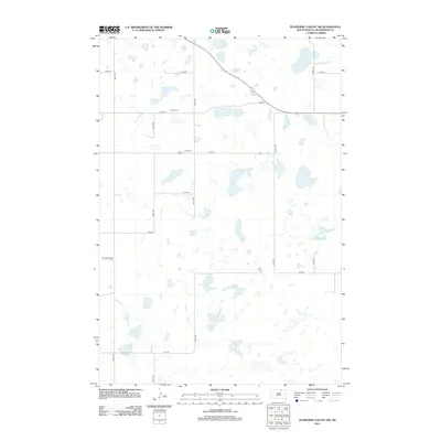
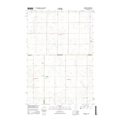
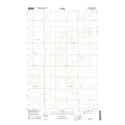
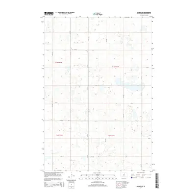
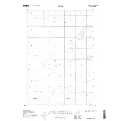
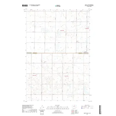
Glacial prairie potholes and marshy basins define this landscape in McPherson County, documented during a 1970s survey. The terrain is characterized by numerous small depressions and water bodies, most notably the expansive Alkali Lake in the northeastern corner. This area serves as a critical habitat for migratory birds, as evidenced by the large National Waterfowl Production Area spanning several sections of the township.
Find a feature on this map
9 named features on this map. Tap any name to fly to it.
Don’t see what you’re looking for? This feature index may not catch every label — zoom into the map to look around manually.
Map Details
Editions of this 1978 Plainview Colony NW Map
This is the sole edition of this map. No revisions or reprints were ever made.
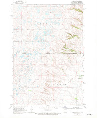
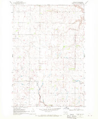
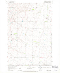
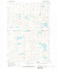
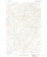
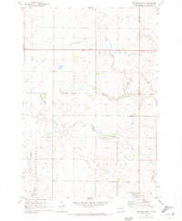
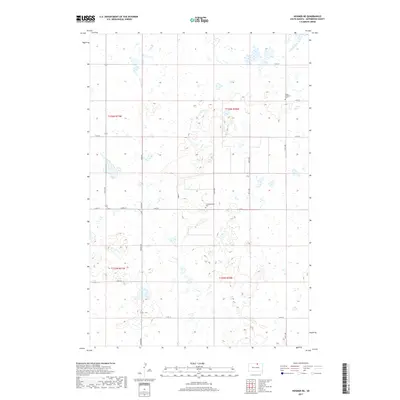
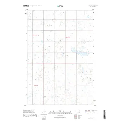
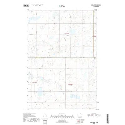
Historical Maps of McPherson County Through Time
101 maps found
1968 Forbes NW
McPherson County, SD
1968 Forbes SE
McPherson County, SD
1968 Forbes SW
McPherson County, SD
1968 Long Lake NE
McPherson County, SD
1968 Long Lake NW
McPherson County, SD
1968 Long Lake SE
McPherson County, SD
1970 Wetonka North
McPherson County, SD
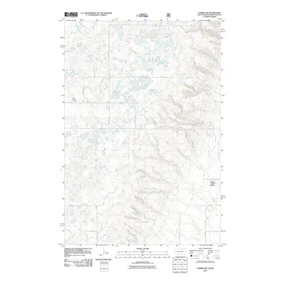
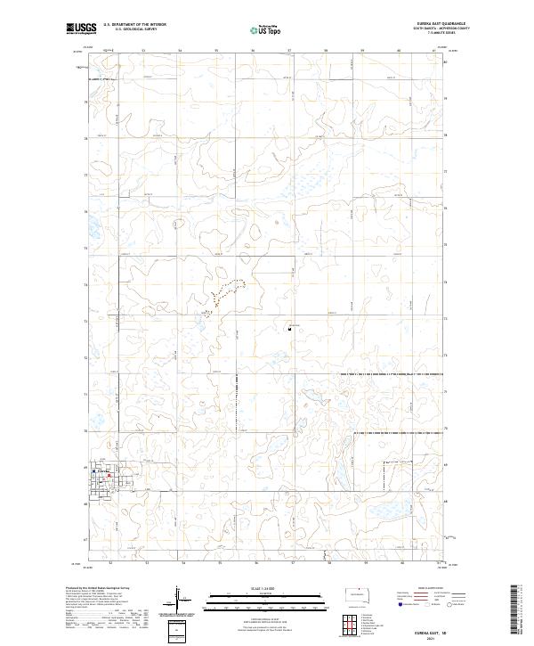
1978 Eureka East
McPherson County, SD
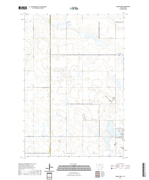
1978 Eureka West
McPherson County, SD
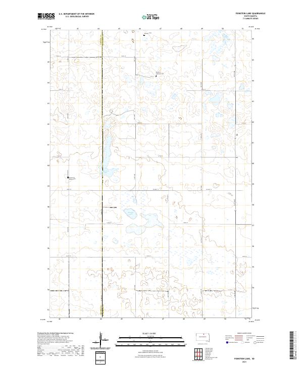
1978 Feinstein Lake
McPherson County, SD
1978 Greenway
McPherson County, SD
1978 Hosmer NE
McPherson County, SD
1978 Hosmer NW
McPherson County, SD
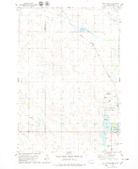
1978 Plainview Colony NE
McPherson County, SD
1978 Plainview Colony NW
McPherson County, SD
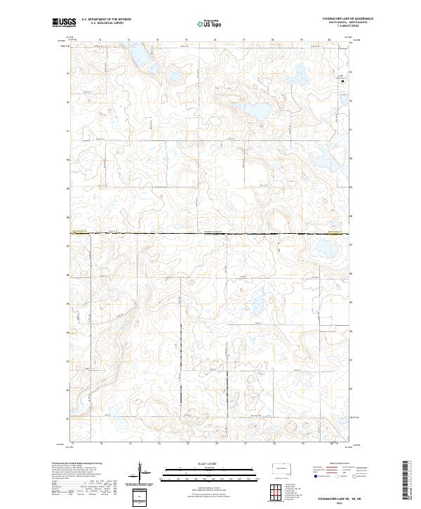
1978 Schumacher Lake
McPherson County, SD
1978 Schumacher Lake NE
McPherson County, SD
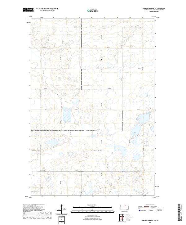
1978 Schumacher Lake SW
McPherson County, SD
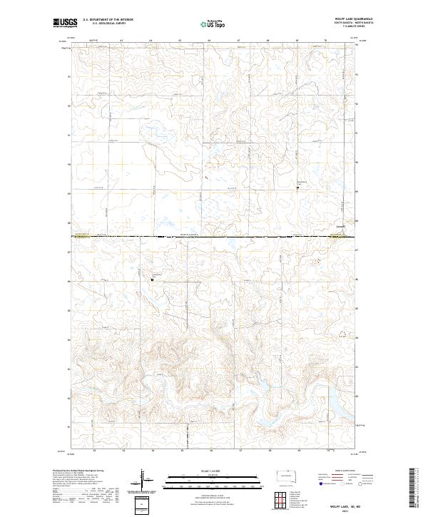
1978 Wolff Lake
McPherson County, SD
2011 Forbes NW
McPherson County, SD
2011 Greenway
McPherson County, SD
2011 Long Lake NE
McPherson County, SD
2011 Long Lake NW
McPherson County, SD
2011 Schumacher Lake NE
McPherson County, SD
2011 Wolff Lake
McPherson County, SD
2012 Eureka East
McPherson County, SD
2012 Eureka West
McPherson County, SD

2012 Feinstein Lake
McPherson County, SD
2012 Forbes NW
McPherson County, SD
2012 Forbes SE
McPherson County, SD
2012 Forbes SW
McPherson County, SD
2012 Greenway
McPherson County, SD
2012 Hosmer NE
McPherson County, SD
2012 Hosmer NW
McPherson County, SD
2012 Long Lake NE
McPherson County, SD
2012 Long Lake NW
McPherson County, SD
2012 Long Lake SE
McPherson County, SD
2012 Plainview Colony NE
McPherson County, SD
2012 Plainview Colony NW
McPherson County, SD
2012 Schumacher Lake
McPherson County, SD
2012 Schumacher Lake NE
McPherson County, SD
2012 Schumacher Lake SW
McPherson County, SD
2012 Wetonka North
McPherson County, SD
2012 Wolff Lake
McPherson County, SD
2015 Eureka East
McPherson County, SD
2015 Eureka West
McPherson County, SD
2015 Feinstein Lake
McPherson County, SD
2015 Forbes NW
McPherson County, SD
2015 Forbes SE
McPherson County, SD
2015 Forbes SW
McPherson County, SD
2015 Greenway
McPherson County, SD
2015 Hosmer NE
McPherson County, SD
2015 Hosmer NW
McPherson County, SD
2015 Long Lake NE
McPherson County, SD
2015 Long Lake NW
McPherson County, SD
2015 Long Lake SE
McPherson County, SD
2015 Plainview Colony NE
McPherson County, SD
2015 Plainview Colony NW
McPherson County, SD
2015 Schumacher Lake
McPherson County, SD
2015 Schumacher Lake NE
McPherson County, SD
2015 Schumacher Lake SW
McPherson County, SD
2015 Wetonka North
McPherson County, SD
2015 Wolff Lake
McPherson County, SD
2017 Eureka East
McPherson County, SD
2017 Eureka West
McPherson County, SD
2017 Feinstein Lake
McPherson County, SD
2017 Forbes NW
McPherson County, SD
2017 Forbes SE
McPherson County, SD
2017 Forbes SW
McPherson County, SD
2017 Greenway
McPherson County, SD
2017 Hosmer NE
McPherson County, SD
2017 Hosmer NW
McPherson County, SD
2017 Long Lake NE
McPherson County, SD
2017 Long Lake NW
McPherson County, SD
2017 Long Lake SE
McPherson County, SD
2017 Plainview Colony NE
McPherson County, SD
2017 Plainview Colony NW
McPherson County, SD
2017 Schumacher Lake
McPherson County, SD
2017 Schumacher Lake NE
McPherson County, SD
2017 Schumacher Lake SW
McPherson County, SD
2017 Wetonka North
McPherson County, SD
2017 Wolff Lake
McPherson County, SD
2021 Eureka East
McPherson County, SD
2021 Eureka West
McPherson County, SD
2021 Feinstein Lake
McPherson County, SD
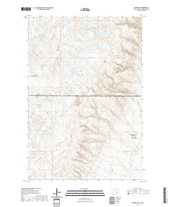
2021 Forbes NW
McPherson County, SD
2021 Forbes SE
McPherson County, SD
2021 Forbes SW
McPherson County, SD
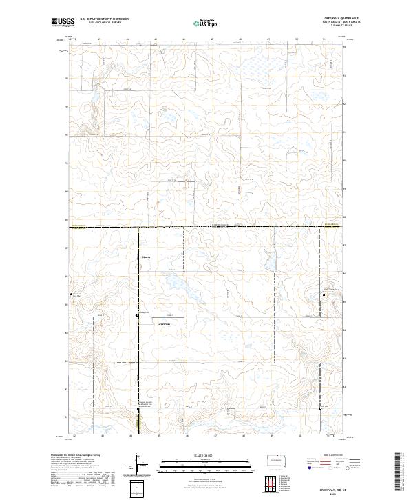
2021 Greenway
McPherson County, SD
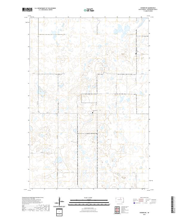
2021 Hosmer NE
McPherson County, SD
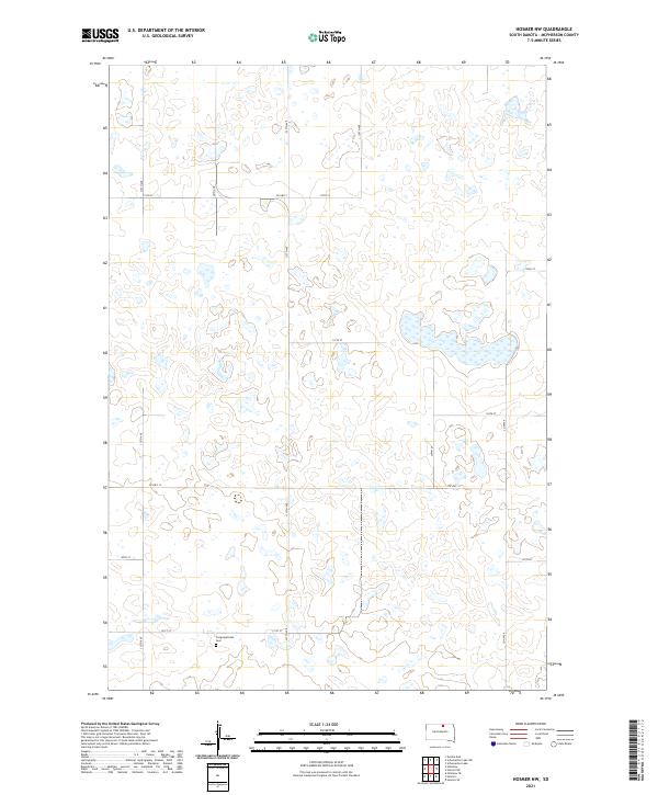
2021 Hosmer NW
McPherson County, SD
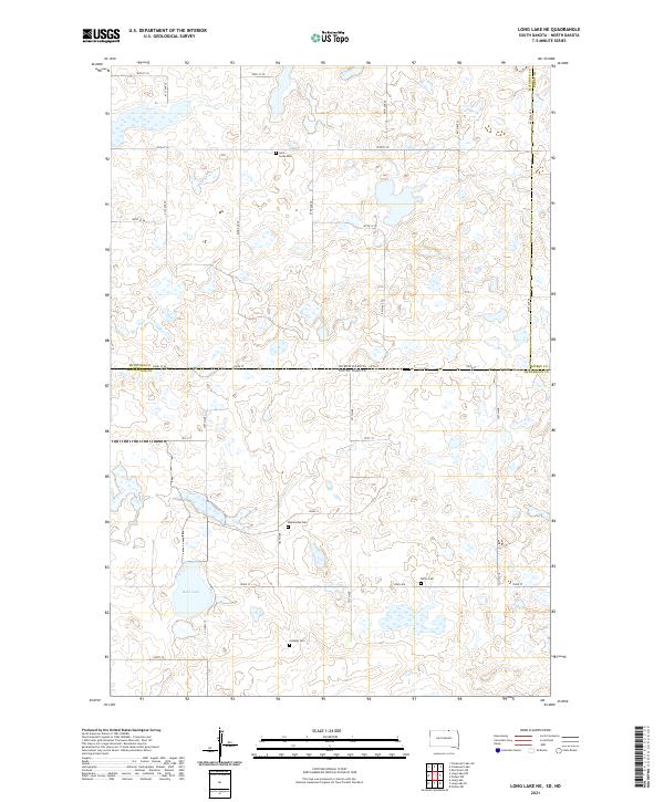
2021 Long Lake NE
McPherson County, SD
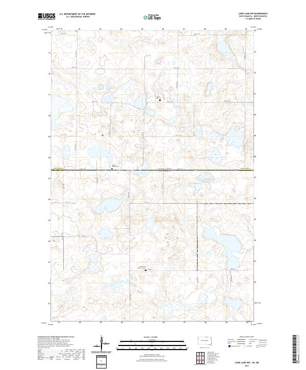
2021 Long Lake NW
McPherson County, SD
2021 Long Lake SE
McPherson County, SD
2021 Plainview Colony NE
McPherson County, SD
2021 Plainview Colony NW
McPherson County, SD
2021 Schumacher Lake
McPherson County, SD
2021 Schumacher Lake NE
McPherson County, SD
2021 Schumacher Lake SW
McPherson County, SD

2021 Wetonka North
McPherson County, SD
2021 Wolff Lake
McPherson County, SD