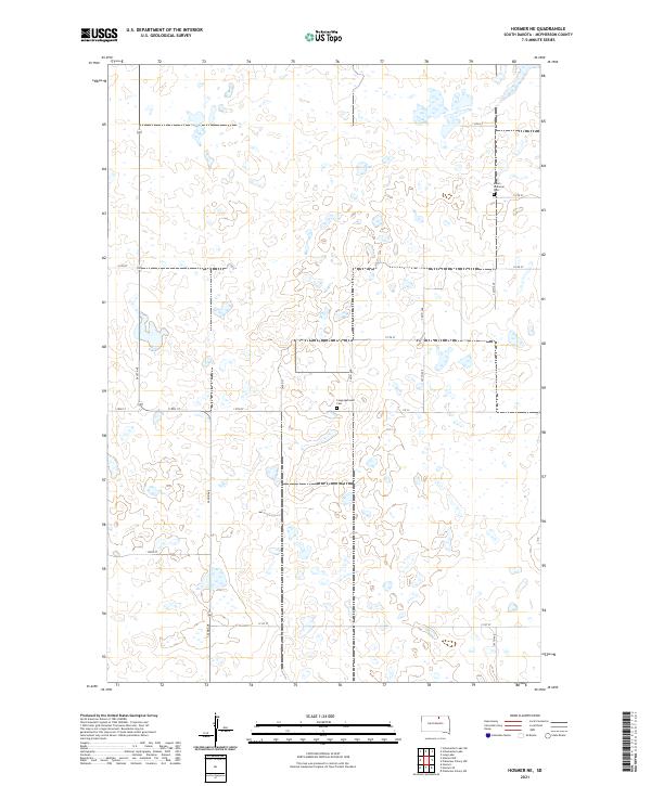
2021 Map of Hosmer NE
USGS Topo · Published 2021About this map
Glacial depressions and small prairie potholes define this landscape in McPherson County, where the township lines of T126N R71W and T126N R70W meet. The area is characterized by a sparse, grid-like road network and scattered wetlands typical of the Missouri Coteau region. Two historical religious landmarks, Salem Lutheran Cem and Congregational Cem, serve as the primary focal points for genealogical research, anchoring the rural community's history to specific family-named sections. The terrain is traversed by local routes such as Co 12 and 341st Ave, which connect isolated farmsteads across the undulating prairie. This survey captures a moment in the modern era where the land use remains predominantly agricultural, shaped by the natural distribution of water and the rigid boundaries of the Public Land Survey System.
Find a feature on this map
20 named features on this map. Tap any name to fly to it.
Don’t see what you’re looking for? This feature index may not catch every label — zoom into the map to look around manually.
Map Details
Editions of this 2021 Hosmer NE Map
This is the sole edition of this map. No revisions or reprints were ever made.
Other maps of this area

1954 · Aberdeen
USGS Topo · 1:250,000

1956 · Aberdeen
USGS Topo · 1:250,000

1968 · Long Lake
USGS Topo · 1:24,000

1978 · Hosmer NW
USGS Topo · 1:24,000

1978 · Hosmer NE
USGS Topo · 1:24,000

1978 · Hosmer SE
USGS Topo · 1:24,000

1978 · Hosmer
USGS Topo · 1:24,000

1978 · Schumacher Lake
USGS Topo · 1:24,000

1978 · Schumacher Lake SW
USGS Topo · 1:24,000

1978 · Plainview Colony NW
USGS Topo · 1:24,000