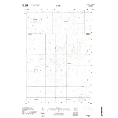
2017 Map of Hosmer SE
USGS Topo · Published 2017About this map
Glacial depressions and small prairie potholes dominate the landscape along the border of McPherson County and Edmunds County. This rural section of the Great Plains is defined by its rectilinear grid of section roads, including 124th St and 342nd Ave, which navigate around hundreds of small, scattered wetlands. The map provides significant genealogical value for the area, identifying local burial grounds such as Mohr Cem in the northern section and Hoffnung's Hope Lutheran Cem further south. These sites, along with the township and range designations like t124n r70w, serve as primary landmarks for tracing early family farmsteads and the spiritual history of the German-Russian heritage common to this part of South Dakota.
Find a feature on this map
24 named features on this map. Tap any name to fly to it.
Don’t see what you’re looking for? This feature index may not catch every label — zoom into the map to look around manually.
Map Details
Editions of this 2017 Hosmer SE Map
This is the sole edition of this map. No revisions or reprints were ever made.
Other maps of this area

1954 · Aberdeen
USGS Topo · 1:250,000

1956 · Aberdeen
USGS Topo · 1:250,000

1974 · Roscoe
USGS Topo · 1:24,000

1978 · Beebe
USGS Topo · 1:24,000

1978 · Roscoe NW
USGS Topo · 1:24,000

1978 · Hosmer NW
USGS Topo · 1:24,000

1978 · Hosmer NE
USGS Topo · 1:24,000

1978 · Hosmer SE
USGS Topo · 1:24,000

1978 · Hosmer
USGS Topo · 1:24,000

1978 · Plainview Colony NW
USGS Topo · 1:24,000