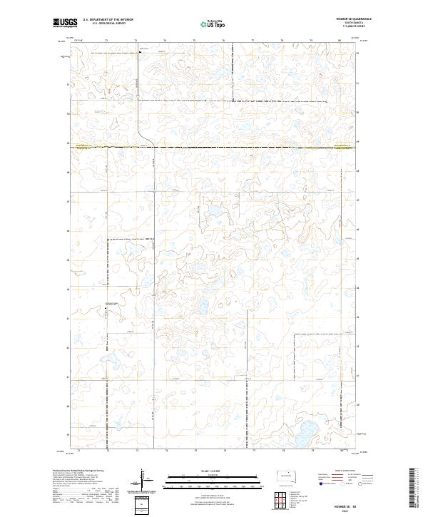
2021 Map of Hosmer SE
USGS Topo · Published 2021About this map
McPherson and Edmunds County lines divide this prairie landscape, reflecting the orderly section-line grid of the Public Land Survey System. The area is defined by its agricultural layout, where local thoroughfares like 124th St and 342nd Ave provide access to a terrain marked by numerous small wetlands and basins typical of this South Dakota region. For those tracing family roots, the presence of the Hoffnung's Hope Lutheran Cem and Mohr Cem offers concrete points of reference for the early Lutheran and pioneer communities that settled these townships. The map illustrates how the rural road network has persisted along township boundaries like t124n r70w, maintaining the spatial logic of the high plains even as farmsteads evolved over the decades.
Find a feature on this map
24 named features on this map. Tap any name to fly to it.
Don’t see what you’re looking for? This feature index may not catch every label — zoom into the map to look around manually.
Map Details
Editions of this 2021 Hosmer SE Map
This is the sole edition of this map. No revisions or reprints were ever made.
Other maps of this area

1954 · Aberdeen
USGS Topo · 1:250,000

1956 · Aberdeen
USGS Topo · 1:250,000

1974 · Roscoe
USGS Topo · 1:24,000

1978 · Beebe
USGS Topo · 1:24,000

1978 · Roscoe NW
USGS Topo · 1:24,000

1978 · Hosmer NW
USGS Topo · 1:24,000

1978 · Hosmer NE
USGS Topo · 1:24,000

1978 · Hosmer SE
USGS Topo · 1:24,000

1978 · Hosmer
USGS Topo · 1:24,000

1978 · Plainview Colony NW
USGS Topo · 1:24,000