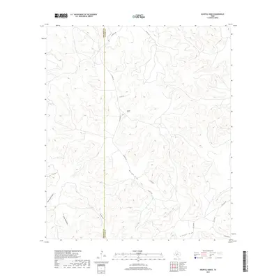
2019 Map of Hospital Ranch
USGS Topo · Published 2019About this map
Hospital Ranch serves as the namesake hub of this West Texas landscape, situated near the boundary between Crockett Co and Sutton Co. The area is defined by a dense network of intermittent drainage channels and rugged depressions, including Willow Draw and Granger Draw. This ranching country is accessed by a handful of winding thoroughfares like Glasscock Rd and Old Juno Rd, which navigate the complex topography of canyons and draws. To the west, the terrain breaks into prominent features such as Plum Canyon and Rock House Canyon, while Cedar Bluff Draw and San Juan Draw cut through the central sections of the survey. The mapping illustrates the isolated nature of these Texas holdings, where life and travel are dictated by the natural contours of the land and the seasonal flow of water through the various draws.
Find a feature on this map
23 named features on this map. Tap any name to fly to it.
Don’t see what you’re looking for? This feature index may not catch every label — zoom into the map to look around manually.
Map Details
Editions of this 2019 Hospital Ranch Map
This is the sole edition of this map. No revisions or reprints were ever made.
Other maps of this area

1954 · Sonora
USGS Topo · 1:250,000

1958 · Sonora
USGS Topo · 1:250,000

1967 · Nolen Draw
USGS Topo · 1:24,000

1967 · Savell Ranch
USGS Topo · 1:24,000

1967 · Ozona SE
USGS Topo · 1:24,000

1967 · Shafter Draw
USGS Topo · 1:24,000

1967 · Crockett Heights
USGS Topo · 1:24,000

1967 · Hudspeth Draw
USGS Topo · 1:24,000

1967 · Caverns Of Sonora
USGS Topo · 1:24,000
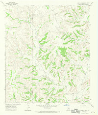
1967 · Hospital Ranch
USGS Topo · 1:24,000