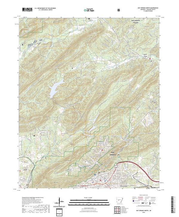
2024 Map of Hot Springs North
USGS Topo · Published 2024About this map
Hot Springs and the northern reaches of Hot Springs National Park dominate this landscape, where the urban street grid of the city meets the ridgelines of the Ouachita Mountains. The northern edge of the city is marked by the Garland County Courthouse and institutions like National Park College, transitioning quickly into a topography of named peaks such as North Mtn, Hot Springs Mtn, and Sugarloaf Mtn.
Find a feature on this map
211 named features on this map. Tap any name to fly to it.
Don’t see what you’re looking for? This feature index may not catch every label — zoom into the map to look around manually.
Map Details
Editions of this 2024 Hot Springs North Map
This is the sole edition of this map. No revisions or reprints were ever made.
Other maps of this area

1890 · Benton
USGS Topo · 1:125,000

1890 · Hot Springs
USGS Topo · 1:125,000

1894 · Hot Springs
USGS Topo · 1:125,000

1894 · Benton
USGS Topo · 1:125,000

1948 · Malvern
USGS Topo · 1:62,500

1949 · Malvern
USGS Topo · 1:62,500

1955 · Little Rock
USGS Topo · 1:250,000

1956 · Little Rock
USGS Topo · 1:250,000

1960 · Little Rock
USGS Topo · 1:250,000

1964 · Little Rock
USGS Topo · 1:250,000