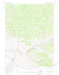
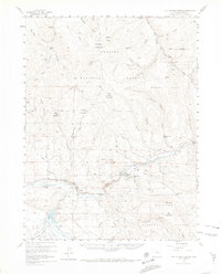
1957 Map of Hot Sulphur Springs
USGS Topo · Published 1974About this map
Hot Sulphur Springs serves as the focal point of this mid-century Rocky Mountain survey, situated where the Colorado River winds through the high-elevation terrain of Grand County. The map captures a period of critical water management and transit development, most notably illustrating the blue-hatched area intended for flooding by the Williams Fork Reservoir. This engineering shift is juxtaposed against the established ranching and livestock history of the region, evidenced by the Wheatley Ranch and East Fork Cow Camp in the northern reaches of the Arapaho National Forest.
Find a feature on this map
55 named features on this map. Tap any name to fly to it.
Don’t see what you’re looking for? This feature index may not catch every label — zoom into the map to look around manually.
Map Details
Editions of this 1957 Hot Sulphur Springs Map
6 editions found

Other maps of this area

1915 · Longs Peak
USGS Topo · 1:125,000

1919 · Rocky Mountain National Park
USGS Topo · 1:125,000

1924 · Fraser
USGS Topo · 1:62,500

1926 · Fraser
USGS Topo · 1:62,500

1933 · Mt. Powell
USGS Topo · 1:48,000

1933 · Ute Peak
USGS Topo · 1:62,500

1937 · Ute Peak
USGS Topo · 1:62,500

1940 · Mount Powell
USGS Topo · 1:62,500

1953 · Denver
USGS Topo · 1:250,000

1954 · Greeley
USGS Topo · 1:250,000