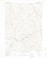
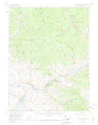
1957 Map of Hot Sulphur Springs
USGS Topo · Published 1974About this map
Hot Sulphur Springs serves as a central hub in this high-altitude landscape where the Colorado River carves through Byers Canyon. The map reveals a mid-century infrastructure of water management and transportation, featuring the Williams Fork Reservoir and the Denver and Rio Grande Western railroad corridor. The area is defined by the expansive Arapaho National Forest, where working ranch sites like Wheatley Ranch and seasonal outposts like East Fork Cow Camp are found among the drainages of Troublesome Creek and Willow Creek. This 1957 survey captures the era before significant recreational expansion, showing primitive campsites like Sawmill Gulch Campground and essential agricultural features including the Musgrave Ditch and Johnson Lateral.
Find a feature on this map
57 named features on this map. Tap any name to fly to it.
Don’t see what you’re looking for? This feature index may not catch every label — zoom into the map to look around manually.
Map Details
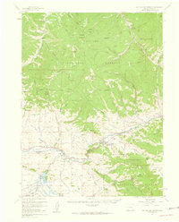
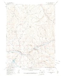
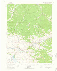
Editions of this 1957 Hot Sulphur Springs Map
6 editions found

Other maps of this area

1915 · Longs Peak
USGS Topo · 1:125,000

1919 · Rocky Mountain National Park
USGS Topo · 1:125,000

1924 · Fraser
USGS Topo · 1:62,500

1926 · Fraser
USGS Topo · 1:62,500

1933 · Mt. Powell
USGS Topo · 1:48,000

1933 · Ute Peak
USGS Topo · 1:62,500

1937 · Ute Peak
USGS Topo · 1:62,500

1940 · Mount Powell
USGS Topo · 1:62,500

1953 · Denver
USGS Topo · 1:250,000

1954 · Greeley
USGS Topo · 1:250,000