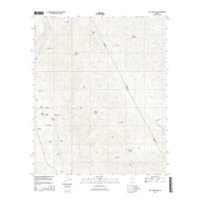
2014 Map of Hot Tamale Peak
USGS Topo · Published 2014About this map
Hot Tamale Peak and the surrounding Dripping Spring Mountains dominate this Pinal County landscape, where copper mining and rugged mountain peaks define the local geography. The western edge of the map reveals the industrial footprint of the Ray and Sonora areas, notably including the Pearl Handle Pit. These mining operations are situated among a network of canyons and gulches, such as Bluebell Gulch and Poorman Gulch, which historically drew prospectors to this mineral-rich corridor.
Find a feature on this map
60 named features on this map. Tap any name to fly to it.
Don’t see what you’re looking for? This feature index may not catch every label — zoom into the map to look around manually.
Map Details
Editions of this 2014 Hot Tamale Peak Map
This is the sole edition of this map. No revisions or reprints were ever made.
Other maps of this area

1900 · Florence
USGS Topo · 1:125,000

1901 · Globe
USGS Topo · 1:62,500

1902 · Globe
USGS Topo · 1:62,500

1902 · Florence
USGS Topo · 1:125,000

1910 · Ray
USGS Topo · 1:62,500

1948 · Pinal Ranch
USGS Topo · 1:24,000

1948 · Superior
USGS Topo · 1:62,500

1948 · Superior
USGS Topo · 1:24,000

1949 · Pinal Ranch
USGS Topo · 1:24,000

1949 · Superior
USGS Topo · 1:24,000