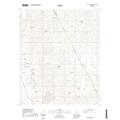
2018 Map of Hot Tamale Peak
USGS Topo · Published 2018About this map
Hot Tamale Peak and the surrounding Dripping Spring Mountains characterize this high-desert landscape in Pinal and Gila counties. The map documents the extensive industrial activity and mineral exploration of the region, featuring the Pearl Handle Pit and numerous named gulches such as Jimmie Luck Gulch, Bluebell Gulch, and Poorman Gulch. These labels suggest a history of prospecting and mining that shaped the development of the nearby settlements of Ray and Sonora.
Find a feature on this map
62 named features on this map. Tap any name to fly to it.
Don’t see what you’re looking for? This feature index may not catch every label — zoom into the map to look around manually.
Map Details
Editions of this 2018 Hot Tamale Peak Map
This is the sole edition of this map. No revisions or reprints were ever made.
Other maps of this area

1900 · Florence
USGS Topo · 1:125,000

1901 · Globe
USGS Topo · 1:62,500

1902 · Globe
USGS Topo · 1:62,500

1902 · Florence
USGS Topo · 1:125,000

1910 · Ray
USGS Topo · 1:62,500

1948 · Pinal Ranch
USGS Topo · 1:24,000

1948 · Superior
USGS Topo · 1:62,500

1948 · Superior
USGS Topo · 1:24,000

1949 · Pinal Ranch
USGS Topo · 1:24,000

1949 · Superior
USGS Topo · 1:24,000