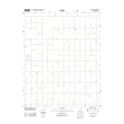
2012 Map of Hough NE
USGS Topo · Published 2012About this map
The High Plains of Texas County, Oklahoma, are defined here by a vast grid of section roads and the meandering path of Pony Cr. This 2012 survey illustrates the systematic rural organization of the region, where legacy burial grounds like Barden Memorial Cem and Camp Cem provide anchor points for local genealogical research. The landscape is primarily agricultural, with water management evidenced by the Sturdivan Number 1 Reservoir in the southeast. Important transit corridors including Co Hwy 23 and Co Hwy 29 connect the scattered farmsteads across the panhandle. The map captures the intersection of established county infrastructure and the natural drainage patterns of the Oklahoma-Kansas borderlands.
Find a feature on this map
36 named features on this map. Tap any name to fly to it.
Don’t see what you’re looking for? This feature index may not catch every label — zoom into the map to look around manually.
Map Details
Editions of this 2012 Hough NE Map
This is the sole edition of this map. No revisions or reprints were ever made.
Other maps of this area

1954 · Perryton
USGS Topo · 1:250,000

1955 · Dodge City
USGS Topo · 1:250,000

1958 · Perryton
USGS Topo · 1:250,000

1958 · Dodge City
USGS Topo · 1:250,000

1959 · Dodge City
USGS Topo · 1:250,000

1967 · Straight
USGS Topo · 1:24,000

1967 · Straight SW
USGS Topo · 1:24,000

1973 · Hough SW
USGS Topo · 1:24,000

1973 · Hough NE
USGS Topo · 1:24,000

1973 · Hough NW
USGS Topo · 1:24,000