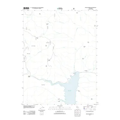
2012 Map of Hough Springs
USGS Topo · Published 2012About this map
Hough Springs and the northern reaches of the Indian Valley Reservoir anchor this 2012 study of the Lake County landscape. The area is defined by a dense network of water sources and named glades, including Ford Spring in the northwest and Dead Shot Spring near the eastern boundary. This map reveals a region managed largely through forestry access, with numerous Forest Service routes like 16 N 06 and 18 N 08 RD navigating the high ground of Lovelady Ridge and Indian Ridge.
Find a feature on this map
50 named features on this map. Tap any name to fly to it.
Don’t see what you’re looking for? This feature index may not catch every label — zoom into the map to look around manually.
Map Details
Editions of this 2012 Hough Springs Map
This is the sole edition of this map. No revisions or reprints were ever made.
Other maps of this area

1920 · Venado
USGS Topo · 1:62,500

1924 · Bartlett Springs
USGS Topo · 1:62,500

1942 · Bartlett Springs
USGS Topo · 1:62,500

1943 · Lodoga
USGS Topo · 1:62,500

1944 · Bartlett Springs
USGS Topo · 1:62,500

1944 · Wilbur Springs
USGS Topo · 1:62,500

1951 · Stonyford
USGS Topo · 1:62,500

1957 · Ukiah
USGS Topo · 1:250,000

1958 · Clearlake Oaks
USGS Topo · 1:24,000

1960 · Ukiah
USGS Topo · 1:250,000