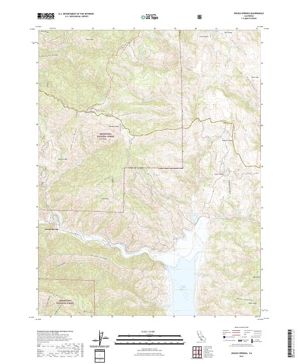
2021 Map of Hough Springs
USGS Topo · Published 2021About this map
Hough Springs and the northern reaches of the Indian Valley Reservoir characterize this portion of the Mendocino National Forest. The landscape is a complex system of ridges and glades, where Indian Ridge, Pine Ridge, and Soapstone Ridge divide numerous drainages such as North Fork Cache Creek and Stanton Cr. This 2021 survey illustrates the modern management of these protected lands, documenting the network of forest roads like the Lake Co Road (Bartlett Spr) and Colusa Co Road (Goat Mtn) that provide access to remote points. Small seasonal settlements and natural landmarks, including Davis Flat, Pacific Point, and Split Rock, are precisely located amidst the high terrain. Geologists and local historians can trace the intricate water systems from Complexion Spring to the various forks of Mill Cr that feed the local watershed.
Find a feature on this map
61 named features on this map. Tap any name to fly to it.
Don’t see what you’re looking for? This feature index may not catch every label — zoom into the map to look around manually.
Map Details
Editions of this 2021 Hough Springs Map
This is the sole edition of this map. No revisions or reprints were ever made.
Other maps of this area

1920 · Venado
USGS Topo · 1:62,500

1924 · Bartlett Springs
USGS Topo · 1:62,500

1942 · Bartlett Springs
USGS Topo · 1:62,500

1943 · Lodoga
USGS Topo · 1:62,500

1944 · Bartlett Springs
USGS Topo · 1:62,500

1944 · Wilbur Springs
USGS Topo · 1:62,500

1951 · Stonyford
USGS Topo · 1:62,500

1957 · Ukiah
USGS Topo · 1:250,000

1958 · Clearlake Oaks
USGS Topo · 1:24,000

1960 · Ukiah
USGS Topo · 1:250,000