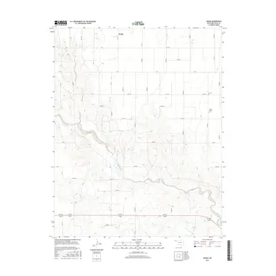
2016 Map of Hough
USGS Topo · Published 2016About this map
Hough stands as the central point of reference in this Oklahoma Panhandle landscape, where the flat upland plains are deeply carved by the winding drainage of Goff Cr. The topography reveals the characteristic transition between high tablelands and the eroded breaks that lead down to the creek beds, creating a distinct contrast in the local terrain. Genealogy and local history researchers will find the locations of Lee Cem and the Trinity Lutheran Cem preserved near the eastern edge of the survey. The mapping also captures a dense grid of rural corridors such as Co Hwy 7 and Road N, illustrating the structured land division of Texas County. South of the main creek, Little Goff Cr meanders through the lower elevations, marking the southern reaches of this agricultural and ranching region during the mid-2010s.
Find a feature on this map
37 named features on this map. Tap any name to fly to it.
Don’t see what you’re looking for? This feature index may not catch every label — zoom into the map to look around manually.
Map Details
Editions of this 2016 Hough Map
This is the sole edition of this map. No revisions or reprints were ever made.
Other maps of this area

1954 · Perryton
USGS Topo · 1:250,000

1958 · Perryton
USGS Topo · 1:250,000

1967 · Straight
USGS Topo · 1:24,000

1967 · Straight SW
USGS Topo · 1:24,000

1968 · Guymon
USGS Topo · 1:24,000

1973 · Goodwell NW
USGS Topo · 1:24,000

1973 · Hough SW
USGS Topo · 1:24,000

1973 · Hough NE
USGS Topo · 1:24,000

1973 · Goodwell NE
USGS Topo · 1:24,000

1973 · Hough NW
USGS Topo · 1:24,000