
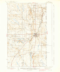
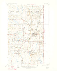
1938 Map of Houlton
USGS Topo · Published 1938About this map
Houlton serves as the commercial and social anchor of this northeastern Maine landscape during the late 1930s. The region is defined by its international proximity, with the United States Canada border running along the eastern edge of the survey, marked by US Customs and Canadian Customs posts. A sophisticated communications infrastructure is evident through the presence of the Transoceanic Telephone Receiving Station and various antenna sites.
Find a feature on this map
93 named features on this map. Tap any name to fly to it.
Don’t see what you’re looking for? This feature index may not catch every label — zoom into the map to look around manually.
Map Details
Editions of this 1938 Houlton Map
3 editions found
Other maps of this area

1934 · Bridgewater
USGS Topo · 1:48,000

1935 · Howe Brook
USGS Topo · 1:48,000

1937 · Smyrna Mills
USGS Topo · 1:62,500

1938 · Bridgewater
USGS Topo · 1:62,500

1939 · Howe Brook
USGS Topo · 1:62,500

1940 · Amity
USGS Topo · 1:62,500

1941 · Amity
USGS Topo · 1:62,500

1941 · Mattawamkeag Lake
USGS Topo · 1:62,500

1943 · Amity
USGS Topo · 1:62,500

1943 · Mattawamkeag Lake
USGS Topo · 1:62,500