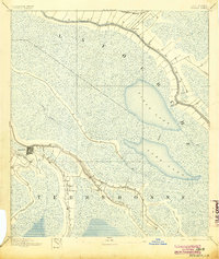
1892 Map of Houma
USGS Topo · Published 1904About this map
Houma serves as the focal point of this late nineteenth-century deltaic landscape, where the town grid is etched at the confluence of several critical waterways. This era captures the region's total reliance on its bayous for both settlement patterns and commerce, with homes and structures clustered tightly along the natural levees of Bayou Terrebonne and Bayou Lafourche. The map reveals a transition in transportation as the Southern Pacific R. R. and the Company Canal begin to supplement the traditional water routes.
Find a feature on this map
18 named features on this map. Tap any name to fly to it.
Don’t see what you’re looking for? This feature index may not catch every label — zoom into the map to look around manually.
Map Details
Editions of this 1892 Houma Map
4 editions found
Other maps of this area

1891 · Hahnville
USGS Topo · 1:62,500

1892 · Lac Des Allemands
USGS Topo · 1:62,500

1892 · Gibson
USGS Topo · 1:62,500

1892 · Cut-Off
USGS Topo · 1:62,500

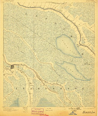
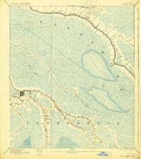
1892 · Houma
USGS Topo · 1:62,500

1892 · Thibodaux
USGS Topo · 1:62,500

1894 · Bayou De Large
USGS Topo · 1:62,500

1894 · Lake Felicity
USGS Topo · 1:62,500

1894 · Dulac
USGS Topo · 1:62,500

1897 · Gibson
USGS Topo · 1:62,500