
1892 Map of Houma
USGS Topo · Published 1892About this map
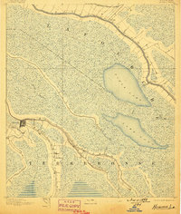
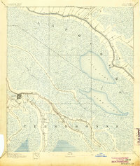
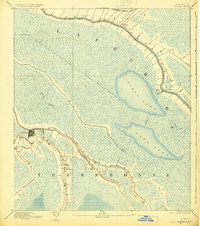
The settlement of Houma serves as a focal point at the junction of Bayou Black and Bayou Terrebonne, illustrating the deep-seated reliance on natural waterways for commerce and travel in late 19th-century southern Louisiana. The landscape is defined by an intricate network of wetlands and bayous, including Bayou de Large and Petit Caillou, which radiate toward the gulf. This 1890 survey documents a period when the Southern Pacific Railroad was beginning to augment the established boat traffic along the Bayou Lafourche corridor. Near Lockport, the Company Canal links the interior bayous to open waters like Field Lake and Lake Long, revealing a highly engineered hydraulic environment. The transition from agricultural strips along the natural levees to the vast marshlands of Lafourche and Terrebonne parishes is clearly delineated by the presence of numerous small settlements and unnamed homesteads lining the water's edge.
Find a feature on this map
18 named features on this map. Tap any name to fly to it.
Don’t see what you’re looking for? This feature index may not catch every label — zoom into the map to look around manually.
Map Details
Editions of this 1892 Houma Map
4 editions found
Other maps of this area

1891 · Hahnville
USGS Topo · 1:62,500

1892 · Lac Des Allemands
USGS Topo · 1:62,500

1892 · Gibson
USGS Topo · 1:62,500

1892 · Cut-Off
USGS Topo · 1:62,500

1892 · Thibodaux
USGS Topo · 1:62,500

1894 · Bayou De Large
USGS Topo · 1:62,500

1894 · Lake Felicity
USGS Topo · 1:62,500

1894 · Dulac
USGS Topo · 1:62,500

1897 · Gibson
USGS Topo · 1:62,500

1932 · Houma SE
USGS Topo · 1:31,680