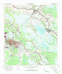
1963 Map of Houma
USGS Topo · Published 1975About this map
Bayou Lafourche and Bayou Terrebonne dictate the settlement patterns of this coastal Louisiana landscape, where communities like Raceland, Lockport, and Houma follow the natural levees of the waterways. The 1960s and 1970s marked a period of industrial change, with the Southern Pacific rail lines and the Intracoastal Waterway facilitating movement between the sprawling Lafourche Crossing Oil and Gas Field and the central hub at Houma. Local history is preserved in numerous family and community sites, such as the Matherne Cem, Myrtle Grove Cem, and Coteau Mission. The presence of the Houma Terrebonne Airport and various schools like Raceland High Sch reflect the mid-century growth of these parish seats. Beyond the developed corridors, the map reveals the transition into the marshy lowlands of Lake Fields and Lake Long.
Find a feature on this map
77 named features on this map. Tap any name to fly to it.
Don’t see what you’re looking for? This feature index may not catch every label — zoom into the map to look around manually.
Map Details
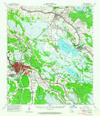
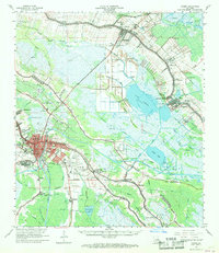
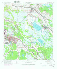
Editions of this 1963 Houma Map
4 editions found
Other maps of this area

1891 · Hahnville
USGS Topo · 1:62,500

1892 · Lac Des Allemands
USGS Topo · 1:62,500

1892 · Gibson
USGS Topo · 1:62,500

1892 · Cut-Off
USGS Topo · 1:62,500

1892 · Houma
USGS Topo · 1:62,500

1892 · Thibodaux
USGS Topo · 1:62,500

1894 · Bayou De Large
USGS Topo · 1:62,500

1894 · Lake Felicity
USGS Topo · 1:62,500

1894 · Dulac
USGS Topo · 1:62,500

1897 · Gibson
USGS Topo · 1:62,500