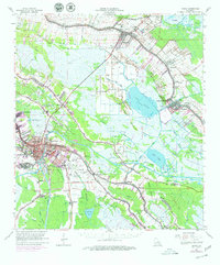
1963 Map of Houma
USGS Topo · Published 1979About this map
Bayou Lafourche and the Southern Pacific railroad corridor dictate the settlement pattern of this Louisiana bayou country during the mid-1960s. The dense linear development along the water, particularly through Lockport and Raceland, contrasts with the industrial footprints of the Raceland Oil and Gas Field and the Houma-Terrebonne Airport. To the southwest, the city of Houma serves as a regional hub, with its growth shown extending toward Southdown and the Intracoastal Waterway.
Find a feature on this map
72 named features on this map. Tap any name to fly to it.
Don’t see what you’re looking for? This feature index may not catch every label — zoom into the map to look around manually.
Map Details
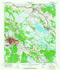
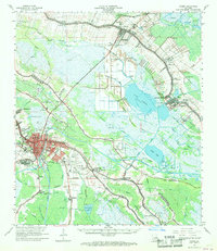
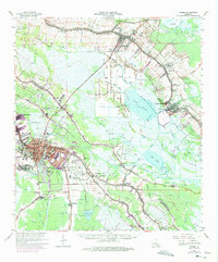
Editions of this 1963 Houma Map
4 editions found
Other maps of this area

1891 · Hahnville
USGS Topo · 1:62,500

1892 · Lac Des Allemands
USGS Topo · 1:62,500

1892 · Gibson
USGS Topo · 1:62,500

1892 · Cut-Off
USGS Topo · 1:62,500

1892 · Houma
USGS Topo · 1:62,500

1892 · Thibodaux
USGS Topo · 1:62,500

1894 · Bayou De Large
USGS Topo · 1:62,500

1894 · Lake Felicity
USGS Topo · 1:62,500

1894 · Dulac
USGS Topo · 1:62,500

1897 · Gibson
USGS Topo · 1:62,500