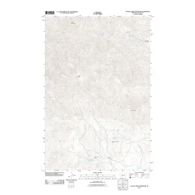
2011 Map of Hound Creek Reservoir
USGS Topo · Published 2011About this map
Sieben Ranch and other longstanding agricultural holdings anchor this stretch of the Montana landscape, where the waters of the East Fork Hound Creek and Spring Creek are managed by the Hound Creek Dam and Spring Creek Lake Dam. The terrain is defined by dramatic elevations and geological formations, including the volcanic profiles of Adel Mountain and Black Mountain, alongside the striking spires known as The Pinnacles.
Find a feature on this map
27 named features on this map. Tap any name to fly to it.
Don’t see what you’re looking for? This feature index may not catch every label — zoom into the map to look around manually.
Map Details
Editions of this 2011 Hound Creek Reservoir Map
This is the sole edition of this map. No revisions or reprints were ever made.
Other maps of this area

1886 · Great Falls
USGS Topo · 1:250,000

1886 · Fort Logan
USGS Topo · 1:250,000

1948 · White Sulphur Springs
USGS Topo · 1:250,000

1954 · Great Falls
USGS Topo · 1:250,000

1957 · Great Falls
USGS Topo · 1:250,000

1958 · White Sulphur Springs
USGS Topo · 1:250,000

1961 · White Sulphur Springs
USGS Topo · 1:250,000

1961 · Hardy
USGS Topo · 1:24,000

1961 · Hound Creek Reservoir
USGS Topo · 1:24,000

1961 · Rocky Reef
USGS Topo · 1:24,000