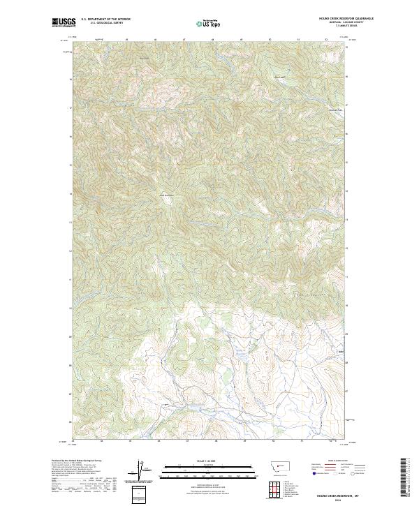
2024 Map of Hound Creek Reservoir
USGS Topo · Published 2024About this map
Adel serves as a central point of reference in this landscape of the Big Belt Mountains foothills, where ranching operations like Dana Ranch and B K Ranch define the land use. The terrain is dramatically shaped by volcanic features, including the prominent volcanic heights of Adel Mountain and the distinct formations of The Pinnacles. Water management is vital to this high-country environment, evidenced by the presence of Spring Cr Reservoir and Hound Cr Reservoir. A complex network of drainage systems, including West Fork Hound Creek and South Fork Sheep Creek, carves through the varied topography from the heights of Black Mtn down to the grassy stretches of Wosineck Flats. These waterways and high-altitude features like Upper Park illustrate a landscape dedicated to long-standing Montana livestock traditions.
Find a feature on this map
29 named features on this map. Tap any name to fly to it.
Don’t see what you’re looking for? This feature index may not catch every label — zoom into the map to look around manually.
Map Details
Editions of this 2024 Hound Creek Reservoir Map
This is the sole edition of this map. No revisions or reprints were ever made.
Other maps of this area

1886 · Great Falls
USGS Topo · 1:250,000

1886 · Fort Logan
USGS Topo · 1:250,000

1948 · White Sulphur Springs
USGS Topo · 1:250,000

1954 · Great Falls
USGS Topo · 1:250,000

1957 · Great Falls
USGS Topo · 1:250,000

1958 · White Sulphur Springs
USGS Topo · 1:250,000

1961 · White Sulphur Springs
USGS Topo · 1:250,000

1961 · Hardy
USGS Topo · 1:24,000

1961 · Hound Creek Reservoir
USGS Topo · 1:24,000

1961 · Rocky Reef
USGS Topo · 1:24,000