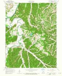
1954 Map of House Springs
USGS Topo · Published 1965About this map
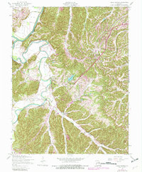
The confluence of the Big River and the Meramec River dominates this mid-century survey of northern Jefferson County. The landscape is defined by the sinuous curves of these waterways, which create distinctive landforms like Rockford Beach and provide the setting for Twin River Park. Settlement is concentrated along the ridges and valley floors, notably at High Ridge and House Springs. The era's recreational development is evident in the private water features and estates such as Lake Montowese, Lake Pottawatomie, and the Echo Lake Ranch. Local community life is anchored by landmarks like St Martins Ch and the historical industrial site at Byrnes Mill. The map also captures the early presence of utility infrastructure with a marked Pipeline crossing the wooded terrain.
Find a feature on this map
26 named features on this map. Tap any name to fly to it.
Don’t see what you’re looking for? This feature index may not catch every label — zoom into the map to look around manually.
Map Details
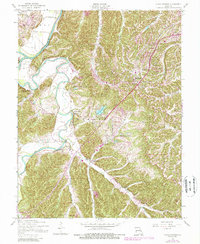
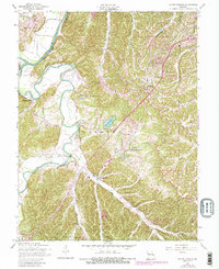
Editions of this 1954 House Springs Map
8 editions found

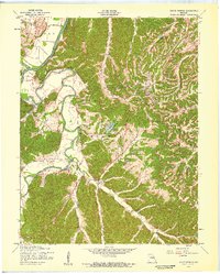
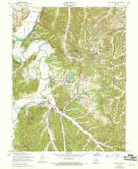
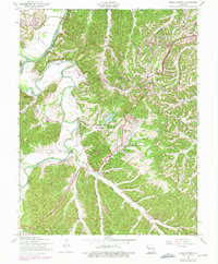
Other maps of this area

1901 · De Soto
USGS Topo · 1:125,000

1903 · O'Fallon
USGS Topo · 1:125,000

1912 · Kimmswick
USGS Topo · 1:62,500

1916 · Kimmswick
USGS Topo · 1:62,500

1930 · Pacific SE
USGS Topo · 1:24,000

1931 · Manchester SE
USGS Topo · 1:24,000

1931 · Pacific NE
USGS Topo · 1:24,000

1933 · Kirkwood
USGS Topo · 1:24,000

1937 · Pacific
USGS Topo · 1:24,000

1938 · Cedar Hill
USGS Topo · 1:24,000