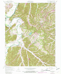
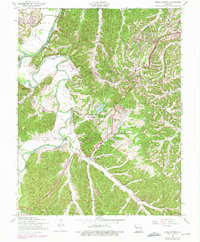
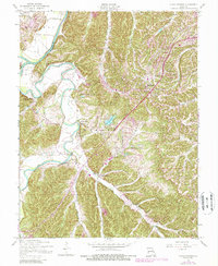
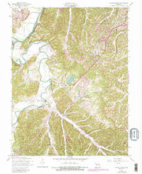
1954 Map of House Springs
USGS Topo · Published 1982About this map
The Meramec River and Big River converge in the northwestern corner of this Jefferson County landscape, framing a region defined by its winding waterways and evolving mid-century settlements. House Springs and High Ridge serve as the primary hubs, with residential growth and land use updates from the early 1980s overlaid in purple against the original 1954 topography. This layering reveals the transition from a rural river valley to an increasingly developed suburban fringe.
Find a feature on this map
30 named features on this map. Tap any name to fly to it.
Don’t see what you’re looking for? This feature index may not catch every label — zoom into the map to look around manually.
Map Details
Editions of this 1954 House Springs Map
8 editions found

Other maps of this area

1901 · De Soto
USGS Topo · 1:125,000

1903 · O'Fallon
USGS Topo · 1:125,000

1912 · Kimmswick
USGS Topo · 1:62,500

1916 · Kimmswick
USGS Topo · 1:62,500

1930 · Pacific SE
USGS Topo · 1:24,000

1931 · Manchester SE
USGS Topo · 1:24,000

1931 · Pacific NE
USGS Topo · 1:24,000

1933 · Kirkwood
USGS Topo · 1:24,000

1937 · Pacific
USGS Topo · 1:24,000

1938 · Cedar Hill
USGS Topo · 1:24,000