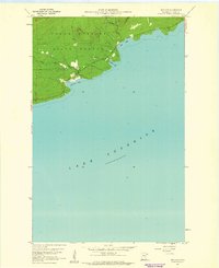
1960 Map of Hovland
USGS Topo · Published 1961About this map
The settlement of Hovland anchors this 1960 survey, situated where the Flute Reed River meets the expansive waters of Lake Superior. The landscape is dominated by the Grand Portage State Forest, showing a rugged coastal topography marked by prominent inlets like Chicago Bay, Horseshoe Bay, and Big Bay. This era of the North Shore is captured just as U.S. Route 61 follows the coastline, providing the primary artery for this remote timber and fishing region. Genealogists will note the small Cem located near the town center, while the presence of several Gravel Pits and Carlson Creek further inland indicates the local land use and drainage patterns of the Cook County shore before modern development increased.
Find a feature on this map
12 named features on this map. Tap any name to fly to it.
Don’t see what you’re looking for? This feature index may not catch every label — zoom into the map to look around manually.
Map Details
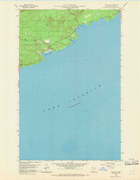
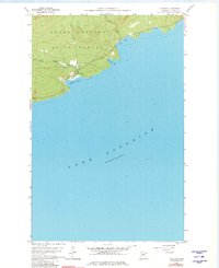
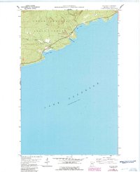
Editions of this 1960 Hovland Map
4 editions found
Other maps of this area

1954 · Two Harbors
USGS Topo · 1:250,000

1957 · Two Harbors
USGS Topo · 1:250,000

1958 · Two Harbors
USGS Topo · 1:250,000

1958 · Hancock
USGS Topo · 1:250,000

1959 · Mineral Center
USGS Topo · 1:24,000

1959 · Tom Lake
USGS Topo · 1:24,000

1960 · Hancock
USGS Topo · 1:250,000
1960 · Farquhar Peak
USGS Topo · 1:24,000
1960 · Marr Island
USGS Topo · 1:24,000

1961 · Hancock
USGS Topo · 1:250,000