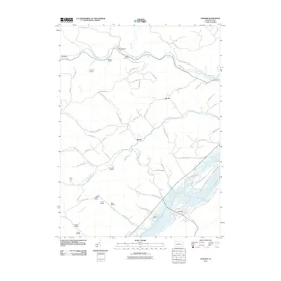
2010 Map of Howard
USGS Topo · Published 2010About this map
Howard and Orviston anchor this 2010 survey of Centre County, where the landscape is defined by the significant waterways of Beech Creek and Bold Eagle Creek. The southeastern portion of the map is dominated by the waters and recreational lands of Bald Eagle State Park, showing the modern footprint of conservation and public land use in the region. The topography is deeply etched by numerous named hollows, including Tar Kill Hollow, Canoe Hollow, and Pole Bridge Hollow, suggesting a history of specialized local activity and timber management.
Find a feature on this map
77 named features on this map. Tap any name to fly to it.
Don’t see what you’re looking for? This feature index may not catch every label — zoom into the map to look around manually.
Map Details
Editions of this 2010 Howard Map
This is the sole edition of this map. No revisions or reprints were ever made.
Other maps of this area

1908 · Bellefonte
USGS Topo · 1:62,500

1909 · Bellefonte
USGS Topo · 1:62,500

1921 · Howard
USGS Topo · 1:48,000

1923 · Howard
USGS Topo · 1:62,500

1924 · Centre Hall
USGS Topo · 1:62,500

1928 · Snow Shoe
USGS Topo · 1:48,000

1929 · Centre Hall
USGS Topo · 1:62,500

1931 · Show Shoe
USGS Topo · 1:62,500

1943 · Lewistown
USGS Topo · 1:125,000

1950 · Harrisburg
USGS Topo · 1:250,000