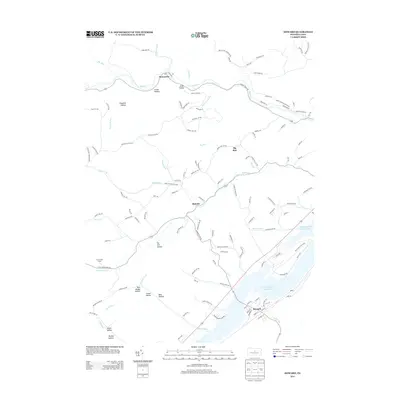
2013 Map of Howard
USGS Topo · Published 2013About this map
Howard serves as the primary hub of this landscape, situated along the southeastern shore of Foster Joseph Sayers Lake. The creation of this reservoir transformed the local topography, which is otherwise defined by the steep drainages of the Appalachian Mountains. To the north, the small settlements of Monument and Romola are connected by a network of rural roads that snake through numerous named hollows, such as Pole Bridge Hollow and Tar Kill Hollow. These deep-cut valleys and the surrounding ridges illustrate a pattern of development where homesteads and clearings followed the path of least resistance along water bodies like Beech Cr and Greens Run. Much of the shoreline is preserved within Bald Eagle State Park, providing a transition from the structured street grid of the village to the unpopulated mountain terrain of the north and west.
Find a feature on this map
128 named features on this map. Tap any name to fly to it.
Don’t see what you’re looking for? This feature index may not catch every label — zoom into the map to look around manually.
Map Details
Editions of this 2013 Howard Map
This is the sole edition of this map. No revisions or reprints were ever made.
Other maps of this area

1908 · Bellefonte
USGS Topo · 1:62,500

1909 · Bellefonte
USGS Topo · 1:62,500

1921 · Howard
USGS Topo · 1:48,000

1923 · Howard
USGS Topo · 1:62,500

1924 · Centre Hall
USGS Topo · 1:62,500

1928 · Snow Shoe
USGS Topo · 1:48,000

1929 · Centre Hall
USGS Topo · 1:62,500

1931 · Show Shoe
USGS Topo · 1:62,500

1943 · Lewistown
USGS Topo · 1:125,000

1950 · Harrisburg
USGS Topo · 1:250,000