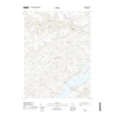
2019 Map of Howard
USGS Topo · Published 2019About this map
Bald Eagle Mountain rises over the landscape of central Pennsylvania, where the sprawling Foster Joseph Sayers Lake dominates the valley floor near the borough of Howard. This modern topographic study reveals a rugged geography defined by numerous hollows, such as Canoe Hollow, Betz Hollow, and Smith Hollow, which drain into larger water bodies like Marsh Creek and Beech Creek. For genealogists and local historians, the map is remarkably dense with family-named landmarks and burial grounds, including the William Packer Family Cem, Lucas Cem, and the Schencks Cem.
Find a feature on this map
114 named features on this map. Tap any name to fly to it.
Don’t see what you’re looking for? This feature index may not catch every label — zoom into the map to look around manually.
Map Details
Editions of this 2019 Howard Map
This is the sole edition of this map. No revisions or reprints were ever made.
Other maps of this area

1908 · Bellefonte
USGS Topo · 1:62,500

1909 · Bellefonte
USGS Topo · 1:62,500

1921 · Howard
USGS Topo · 1:48,000

1923 · Howard
USGS Topo · 1:62,500

1924 · Centre Hall
USGS Topo · 1:62,500

1928 · Snow Shoe
USGS Topo · 1:48,000

1929 · Centre Hall
USGS Topo · 1:62,500

1931 · Show Shoe
USGS Topo · 1:62,500

1943 · Lewistown
USGS Topo · 1:125,000

1950 · Harrisburg
USGS Topo · 1:250,000