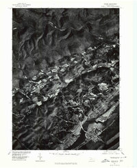
1977 Map of Howard
USGS Topo · Published 1979About this map
Howard and the surrounding Centre County landscape are captured in this 1977 orthophotoquad, showing the intersection of agricultural valleys and wooded ridges. The settlement of Romola sits nestled in the central valley, surrounded by a patchwork of cleared fields that contrast sharply with the dark, dense forest cover of the nearby heights. The southern portion of the sheet is dominated by the waters of Sayers Lake, a significant local geographic feature that reshaped the valley's drainage. To the north, the terrain rises toward Monument and Big Run, while Beech Creek snakes across the upper reaches of the map. Produced in cooperation with the Soil Conservation Service, this imagery provides a clear record of land use and property boundaries during the late 1970s, making it an essential resource for tracing local land ownership and rural development patterns.
Find a feature on this map
6 named features on this map. Tap any name to fly to it.
Don’t see what you’re looking for? This feature index may not catch every label — zoom into the map to look around manually.
Map Details
Editions of this 1977 Howard Map
This is the sole edition of this map. No revisions or reprints were ever made.
Other maps of this area

1908 · Bellefonte
USGS Topo · 1:62,500

1909 · Bellefonte
USGS Topo · 1:62,500

1921 · Howard
USGS Topo · 1:48,000

1923 · Howard
USGS Topo · 1:62,500

1924 · Centre Hall
USGS Topo · 1:62,500

1928 · Snow Shoe
USGS Topo · 1:48,000

1929 · Centre Hall
USGS Topo · 1:62,500

1931 · Show Shoe
USGS Topo · 1:62,500

1943 · Lewistown
USGS Topo · 1:125,000

1950 · Harrisburg
USGS Topo · 1:250,000