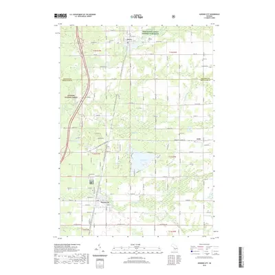
2019 Map of Howard City
USGS Topo · Published 2019About this map
The Little Muskegon River winds through the northwestern corner of this quadrangle, where the Manistee National Forest provides a backdrop for the village of Morley. This 2019 survey documents the transition between the agricultural lands of Mecosta County and Montcalm County, showing a landscape defined by small water bodies like Indian Lake and Crane Lake. A significant cultural corridor is preserved in the Fred Meijer White Pine Trail State Park, which follows the former railroad grade north from Howard City through the heart of the region.
Find a feature on this map
66 named features on this map. Tap any name to fly to it.
Don’t see what you’re looking for? This feature index may not catch every label — zoom into the map to look around manually.
Map Details
Editions of this 2019 Howard City Map
This is the sole edition of this map. No revisions or reprints were ever made.
Other maps of this area

1954 · Midland
USGS Topo · 1:250,000

1958 · Midland
USGS Topo · 1:250,000

1958 · Sand Lake
USGS Topo · 1:62,500

1958 · Woodville
USGS Topo · 1:62,500

1958 · Big Rapids
USGS Topo · 1:62,500

1959 · Midland
USGS Topo · 1:250,000

1959 · Howard City
USGS Topo · 1:62,500

1966 · Midland
USGS Topo · 1:250,000

1976 · Big Rapids SE
USGS Topo · 1:24,000

1976 · Big Rapids SW
USGS Topo · 1:24,000