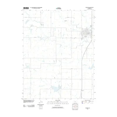
2010 Map of Howard
USGS Topo · Published 2010About this map
Howard serves as the central hub of this Kansas landscape, situated where the Elk River winds through the eastern portion of the quadrangle. The town's layout is clearly defined by local thoroughfares such as N Pine St and E Michigan St, anchoring important community landmarks like the Elk County Fairgrounds and the Howard Cemetery. This region reflects a blend of agricultural activity and resource extraction, evidenced by the Dunkleberger Oil Field located north of the primary settlement.
Find a feature on this map
41 named features on this map. Tap any name to fly to it.
Don’t see what you’re looking for? This feature index may not catch every label — zoom into the map to look around manually.
Map Details
Editions of this 2010 Howard Map
This is the sole edition of this map. No revisions or reprints were ever made.
Other maps of this area

1885 · Eureka
USGS Topo · 1:125,000

1885 · Sedan
USGS Topo · 1:125,000

1888 · Eureka
USGS Topo · 1:125,000

1889 · Sedan
USGS Topo · 1:125,000

1894 · Eureka
USGS Topo · 1:125,000

1939 · Severy
USGS Topo · 1:62,500

1941 · Severy
USGS Topo · 1:62,500

1955 · Wichita
USGS Topo · 1:250,000

1958 · Wichita
USGS Topo · 1:250,000

1962 · Moline
USGS Topo · 1:24,000