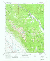
1959 Map of Howard
USGS Topo · Published 1982About this map
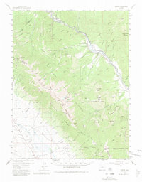
The Arkansas River serves as the primary artery through this Colorado landscape, flanked by the Denver and Rio Grande Western River railroad tracks. Small riverside settlements like Wellsville, Swissvale, and Howard punctuate the valley, where industrial footprints including a quarry at Calcite and several scattered mines indicate a resource-heavy local economy. In the northern reaches, the Howard Community School and Howard Creek Ranger Station highlight the civic and administrative centers of the era.
Find a feature on this map
113 named features on this map. Tap any name to fly to it.
Don’t see what you’re looking for? This feature index may not catch every label — zoom into the map to look around manually.
Map Details
Editions of this 1959 Howard Map
6 editions found

Other maps of this area

1950 · Valley View Hot Springs
USGS Topo · 1:24,000

1954 · Pueblo
USGS Topo · 1:250,000

1956 · Cameron Mountain
USGS Topo · 1:62,500

1956 · Poncha Springs
USGS Topo · 1:62,500

1956 · Montrose
USGS Topo · 1:250,000

1957 · Pueblo
USGS Topo · 1:250,000

1958 · Pueblo
USGS Topo · 1:250,000

1959 · Montrose
USGS Topo · 1:250,000

1959 · Electric Peak
USGS Topo · 1:62,500

1959 · Bonanza
USGS Topo · 1:62,500