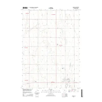
2015 Map of Howard
USGS Topo · Published 2015About this map
Howard and the nearby village of Vilas occupy a landscape characterized by the glacial highlands of the Coteau des Prairies. This terrain is defined by a dense concentration of small wetlands and depressions that dot the prairie, drained intermittently by the W Fork Vermillion River as it meanders southward through the eastern half of the quadrangle. The grid of section-line roads, such as 432nd Ave and 228th St, provides the structural framework for the agricultural operations that dominate the region, linking the town centers to the surrounding farmsteads.
Find a feature on this map
76 named features on this map. Tap any name to fly to it.
Don’t see what you’re looking for? This feature index may not catch every label — zoom into the map to look around manually.
Map Details
Editions of this 2015 Howard Map
This is the sole edition of this map. No revisions or reprints were ever made.
Other maps of this area

1899 · Alexandria
USGS Topo · 1:125,000

1899 · De Smet
USGS Topo · 1:125,000

1953 · Watertown
USGS Topo · 1:250,000

1955 · Sioux Falls
USGS Topo · 1:250,000

1958 · Sioux Falls
USGS Topo · 1:250,000

1958 · Watertown
USGS Topo · 1:250,000

1968 · Oldham SW
USGS Topo · 1:24,000

1968 · Oldham NW
USGS Topo · 1:24,000

1971 · Howard NE
USGS Topo · 1:24,000

1971 · Howard
USGS Topo · 1:24,000