
1971 Map of Howard NE
USGS Topo · Published 1973About this map
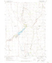
The West Fork Vermillion River meanders through this portion of the eastern South Dakota plains, defining the agricultural landscape of Mathews and Grafton townships. This 1971 field-checked survey reveals a rural environment characterized by intensive land management, with numerous National Wildlife Management Areas interspersed among section-line roads and farmsteads. The Cloverleaf Colony stands as a notable communal settlement in the central part of the quadrangle, representing the distinct social and cultural fabric of the region during this era. Industrial activity is visible in the form of several Gravel Pits, while the borders of Carthage and the boundary between Kingsbury and Miner counties provide essential markers for local history and property research. The topography is meticulously detailed, showing the subtle drainage patterns that feed into the Vermillion River system.
Find a feature on this map
9 named features on this map. Tap any name to fly to it.
Don’t see what you’re looking for? This feature index may not catch every label — zoom into the map to look around manually.
Map Details
Editions of this 1971 Howard NE Map
This is the sole edition of this map. No revisions or reprints were ever made.
Other maps of this area

1899 · De Smet
USGS Topo · 1:125,000

1953 · Watertown
USGS Topo · 1:250,000

1958 · Watertown
USGS Topo · 1:250,000

1968 · Oldham SW
USGS Topo · 1:24,000

1968 · Lake Preston West
USGS Topo · 1:24,000

1968 · Oldham NW
USGS Topo · 1:24,000

1971 · De Smet SE
USGS Topo · 1:24,000

1971 · Howard
USGS Topo · 1:24,000
1971 · Carthage
USGS Topo · 1:24,000
1971 · Manchester
USGS Topo · 1:24,000