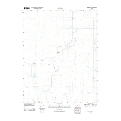
2010 Map of Howard NW
USGS Topo · Published 2010About this map
The Osage Cuestas define the physical geography of this Elk County landscape, where the prairie is dissected by an extensive network of waterways. The Caney River and its East Fork wind through the western half of the territory, while the Elk River crosses the far northern corner. This region is characterized by a mix of ranching operations and active resource extraction, evidenced by the presence of the West Eagle Head Ranch and its accompanying Eaglehead Ranch Airport. Petroleum production is a significant component of the local economy, with several named tracts including the Bush-Denton Oil Field and the Perkins Oil Field scattered across the township lines. A single cemetery, Clear Cut Cemetery, sits near the northern boundary, providing a quiet record of the area's rural residents. Transportation is managed through a grid of local routes like 263 RD and dedicated service paths such as Oil FLD Lease RD.
Find a feature on this map
19 named features on this map. Tap any name to fly to it.
Don’t see what you’re looking for? This feature index may not catch every label — zoom into the map to look around manually.
Map Details
Editions of this 2010 Howard NW Map
This is the sole edition of this map. No revisions or reprints were ever made.
Other maps of this area

1885 · Eureka
USGS Topo · 1:125,000

1885 · Sedan
USGS Topo · 1:125,000

1888 · Eureka
USGS Topo · 1:125,000

1888 · Eldorado
USGS Topo · 1:125,000

1889 · Burden
USGS Topo · 1:125,000

1889 · Sedan
USGS Topo · 1:125,000

1894 · Eureka
USGS Topo · 1:125,000

1955 · Wichita
USGS Topo · 1:250,000

1958 · Wichita
USGS Topo · 1:250,000

1962 · Moline
USGS Topo · 1:24,000