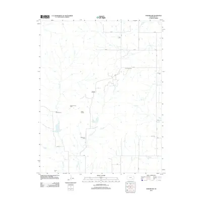
2012 Map of Howard NW
USGS Topo · Published 2012About this map
The Osage Cuestas region of Elk County is defined by its distinct escarpments and a landscape shaped by both agriculture and energy extraction. This 2012 survey shows a network of family-held lands and rural infrastructure, including the West Eagle Head Ranch and East Eagle Head Ranch. The drainage patterns are dominated by the Caney River and its tributaries, such as the E Fork Caney River, which cut through the terrain alongside the northern reaches of the Elk River.
Find a feature on this map
30 named features on this map. Tap any name to fly to it.
Don’t see what you’re looking for? This feature index may not catch every label — zoom into the map to look around manually.
Map Details
Editions of this 2012 Howard NW Map
This is the sole edition of this map. No revisions or reprints were ever made.
Other maps of this area

1885 · Eureka
USGS Topo · 1:125,000

1885 · Sedan
USGS Topo · 1:125,000

1888 · Eureka
USGS Topo · 1:125,000

1888 · Eldorado
USGS Topo · 1:125,000

1889 · Burden
USGS Topo · 1:125,000

1889 · Sedan
USGS Topo · 1:125,000

1894 · Eureka
USGS Topo · 1:125,000

1955 · Wichita
USGS Topo · 1:250,000

1958 · Wichita
USGS Topo · 1:250,000

1962 · Moline
USGS Topo · 1:24,000