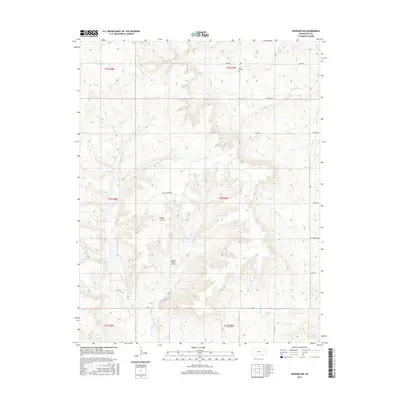
2015 Map of Howard NW
USGS Topo · Published 2015About this map
The Osage Cuestas terrain dominates this portion of Elk County, where the landscape is defined by the headwaters of the Caney River and its tributaries. Steep-faced ridges and gentle backslopes characterize the topography, creating a network of drainages including the E Fork Caney River, Clear Cr, and Bull Cr. Human activity in this rural expanse is marked by agricultural infrastructure and energy extraction, evidenced by the network of local routes like Mule Rd and the Oil Fld Lease Rd.
Find a feature on this map
23 named features on this map. Tap any name to fly to it.
Don’t see what you’re looking for? This feature index may not catch every label — zoom into the map to look around manually.
Map Details
Editions of this 2015 Howard NW Map
This is the sole edition of this map. No revisions or reprints were ever made.
Other maps of this area

1885 · Eureka
USGS Topo · 1:125,000

1885 · Sedan
USGS Topo · 1:125,000

1888 · Eureka
USGS Topo · 1:125,000

1888 · Eldorado
USGS Topo · 1:125,000

1889 · Burden
USGS Topo · 1:125,000

1889 · Sedan
USGS Topo · 1:125,000

1894 · Eureka
USGS Topo · 1:125,000

1955 · Wichita
USGS Topo · 1:250,000

1958 · Wichita
USGS Topo · 1:250,000

1962 · Moline
USGS Topo · 1:24,000