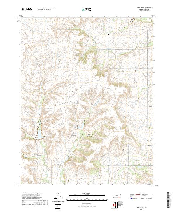
2022 Map of Howard NW
USGS Topo · Published 2022About this map
Osage Cuestas terrain defines this section of Elk County, where the topography of the Flint Hills transitions into a landscape carved by the Caney River and its numerous tributaries. The rural character of the area is underscored by the presence of Clear Creek Cem near Clear Cr and a network of gravel roads including Mule Rd and Limestone Rd. This 2022 survey captures the modern agrarian and industrial footprint of the region, noting both traditional farming routes like Grain Rd and infrastructure associated with energy extraction along Oil Fld Lease Rd. Natural drainage patterns are well-defined, with E Fork Caney River, Bull Cr, and Mound Br creating a complex hydrological web across the township and range boundaries.
Find a feature on this map
23 named features on this map. Tap any name to fly to it.
Don’t see what you’re looking for? This feature index may not catch every label — zoom into the map to look around manually.
Map Details
Editions of this 2022 Howard NW Map
This is the sole edition of this map. No revisions or reprints were ever made.
Other maps of this area

1885 · Eureka
USGS Topo · 1:125,000

1885 · Sedan
USGS Topo · 1:125,000

1888 · Eureka
USGS Topo · 1:125,000

1888 · Eldorado
USGS Topo · 1:125,000

1889 · Burden
USGS Topo · 1:125,000

1889 · Sedan
USGS Topo · 1:125,000

1894 · Eureka
USGS Topo · 1:125,000

1955 · Wichita
USGS Topo · 1:250,000

1958 · Wichita
USGS Topo · 1:250,000

1962 · Moline
USGS Topo · 1:24,000