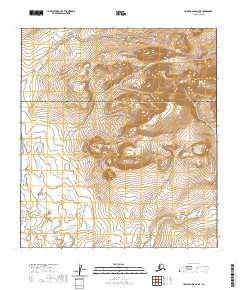
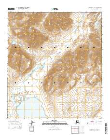
2020 Map of Howard Pass A-4 NE
USGS Topo · Published 2020About this map
Northwest Arctic Borough and the North Slope Borough meet in this 2020 survey of the Brooks Range foothills. The landscape is defined by the protected wilderness of the Noatak National Preserve, showing a terrain largely untouched by modern development. This sheet captures a portion of the Arctic tundra where public land survey systems transition across township lines including t33n r4e and t32n r4e. Without roads or settlements, the map focuses on the complex contouring of the Arctic divide, providing a precise record of the natural drainage and elevation patterns within the preserve. It serves as a foundational document for understanding the remote boundary where these two major Alaskan boroughs intersect.
Find a feature on this map
8 named features on this map. Tap any name to fly to it.
Don’t see what you’re looking for? This feature index may not catch every label — zoom into the map to look around manually.
Map Details
Editions of this 2020 Howard Pass A-4 NE Map
This is the sole edition of this map. No revisions or reprints were ever made.
Other maps of this area

1951 · Howard Pass
USGS Topo · 1:250,000

1956 · Howard Pass
USGS Topo · 1:250,000

1984 · Howard Pass A-3
USGS Topo · 1:63,360

1984 · Howard Pass B-4
USGS Topo · 1:63,360

1984 · Howard Pass B-3
USGS Topo · 1:63,360
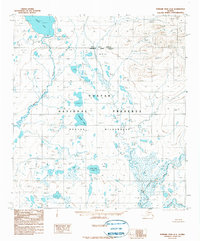
1990 · Howard Pass A-4
USGS Topo · 1:63,360
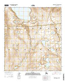
2015 · Howard Pass A-4 NW
USGS Topo · 1:25,000
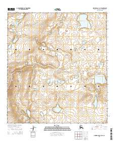
2015 · Howard Pass A-4 SW
USGS Topo · 1:25,000
2015 · Howard Pass B-4 SW
USGS Topo · 1:25,000
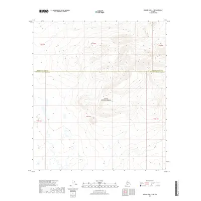
2017 · Howard Pass A-4 NE
USGS Topo · 1:25,000