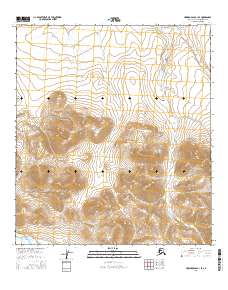
2016 Map of Howard Pass B-1 SE
USGS Topo · Published 2016About this map
Kutchauraur Cr winds through this expanse of the North Slope, serving as the primary drainage for the high elevations within the Howard Pass region. The terrain is defined by the survey lines of t34n r11e, t34n r12e, and t33n r12e, where the topography rises sharply into distinct peaks and ridgelines. These geographic markers indicate a transition from high-altitude plateaus to the narrow valley floors of the Brooks Range foothills. The absence of permanent structures or developed roads at this time underscores the area's enduring character as an undeveloped wilderness, primarily navigated by the course of its seasonal waterways and the natural contours of the land.
Find a feature on this map
7 named features on this map. Tap any name to fly to it.
Don’t see what you’re looking for? This feature index may not catch every label — zoom into the map to look around manually.
Map Details
Editions of this 2016 Howard Pass B-1 SE Map
This is the sole edition of this map. No revisions or reprints were ever made.
Other maps of this area

1951 · Howard Pass
USGS Topo · 1:250,000

1951 · Killik River
USGS Topo · 1:250,000

1956 · Howard Pass
USGS Topo · 1:250,000

1956 · Killik River
USGS Topo · 1:250,000
1984 · Killik River B-5
USGS Topo · 1:63,360
1984 · Howard Pass B-1
USGS Topo · 1:63,360
1984 · Killik River A-5
USGS Topo · 1:63,360
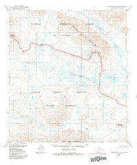
1984 · Howard Pass A-1
USGS Topo · 1:63,360
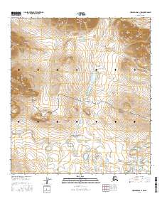
2016 · Howard Pass A-1 NW
USGS Topo · 1:25,000
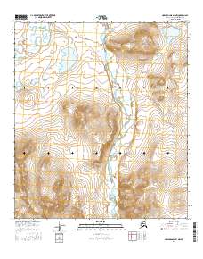
2016 · Howard Pass B-1 NW
USGS Topo · 1:25,000