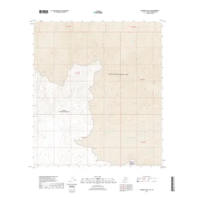
2017 Map of Howard Pass B-3 SW
USGS Topo · Published 2017About this map
Noatak National Preserve meets the southern boundary of the National Petroleum Reserve - Alaska in this high-latitude study of the North Slope. The landscape is defined by the winding course of the Ipnavik River, which flows through the eastern half of the map, and the smaller drainage of Memorial Cr in the northeast. This area represents a massive transition between protected wilderness and federal petroleum lands, where the natural hydrology of the Arctic remains largely undisturbed. The map traces the topographic contours of various ridgelines and valley floors that characterize this uninhabited section of the Alaskan interior, offering a precise view of the terrain within the T33N and T34N townships before any industrial or modern infrastructure altered the drainage patterns.
Find a feature on this map
10 named features on this map. Tap any name to fly to it.
Don’t see what you’re looking for? This feature index may not catch every label — zoom into the map to look around manually.
Map Details
Editions of this 2017 Howard Pass B-3 SW Map
This is the sole edition of this map. No revisions or reprints were ever made.
Other maps of this area

1951 · Howard Pass
USGS Topo · 1:250,000

1956 · Howard Pass
USGS Topo · 1:250,000

1984 · Howard Pass A-3
USGS Topo · 1:63,360

1984 · Howard Pass B-4
USGS Topo · 1:63,360

1984 · Howard Pass B-3
USGS Topo · 1:63,360
1990 · Howard Pass A-4
USGS Topo · 1:63,360
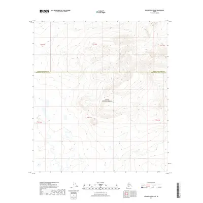
2017 · Howard Pass A-4 NE
USGS Topo · 1:25,000
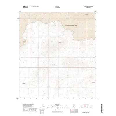
2017 · Howard Pass B-4 SE
USGS Topo · 1:25,000
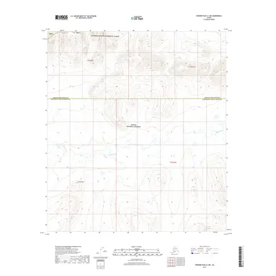
2017 · Howard Pass A-3 NE
USGS Topo · 1:25,000
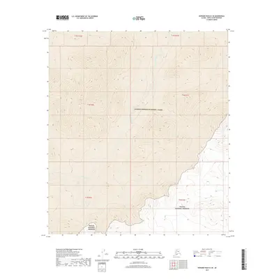
2017 · Howard Pass B-3 SE
USGS Topo · 1:25,000