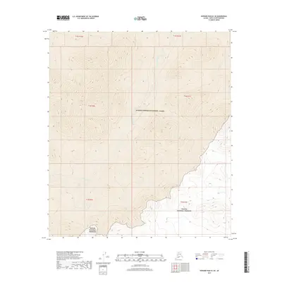
2017 Map of Howard Pass B-3 SE
USGS Topo · Published 2017About this map
The Ipnavik River meanders across this Arctic landscape, marking a remote boundary between two massive federal designations. The southern portion of the map is defined by the Noatak National Preserve, where the terrain begins its ascent toward the higher elevations of the Brooks Range. To the north, the land transitions into the National Petroleum Reserve - Alaska, a region specifically managed for its energy potential and ecological value. This 2017 survey illustrates the stark, undeveloped character of the North Slope, where drainage systems like Friendly Cr provide the only named landmarks across the tundra. The mapping detail highlights the intersection of different land management zones within the North Slope Borough, showcasing a wilderness area preserved for both conservation and resource management.
Find a feature on this map
10 named features on this map. Tap any name to fly to it.
Don’t see what you’re looking for? This feature index may not catch every label — zoom into the map to look around manually.
Map Details
Editions of this 2017 Howard Pass B-3 SE Map
This is the sole edition of this map. No revisions or reprints were ever made.
Other maps of this area

1951 · Howard Pass
USGS Topo · 1:250,000

1956 · Howard Pass
USGS Topo · 1:250,000
1984 · Howard Pass B-2
USGS Topo · 1:63,360
1984 · Howard Pass A-2
USGS Topo · 1:63,360

1984 · Howard Pass A-3
USGS Topo · 1:63,360

1984 · Howard Pass B-3
USGS Topo · 1:63,360
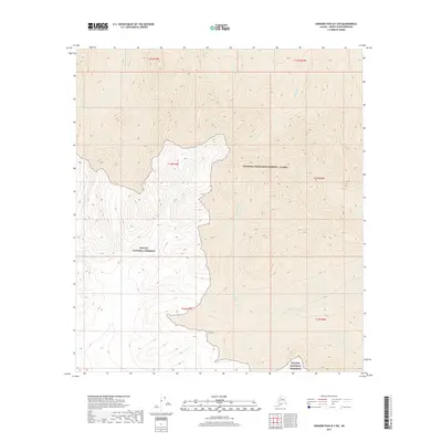
2017 · Howard Pass B-3 SW
USGS Topo · 1:25,000
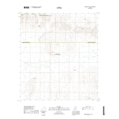
2017 · Howard Pass A-3 NE
USGS Topo · 1:25,000
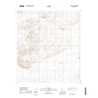
2017 · Howard Pass B-3 NE
USGS Topo · 1:25,000
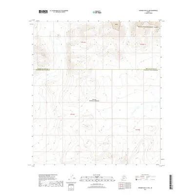
2017 · Howard Pass A-3 NW
USGS Topo · 1:25,000